Medium airport · United Kingdom
RAF FairfordEGVA
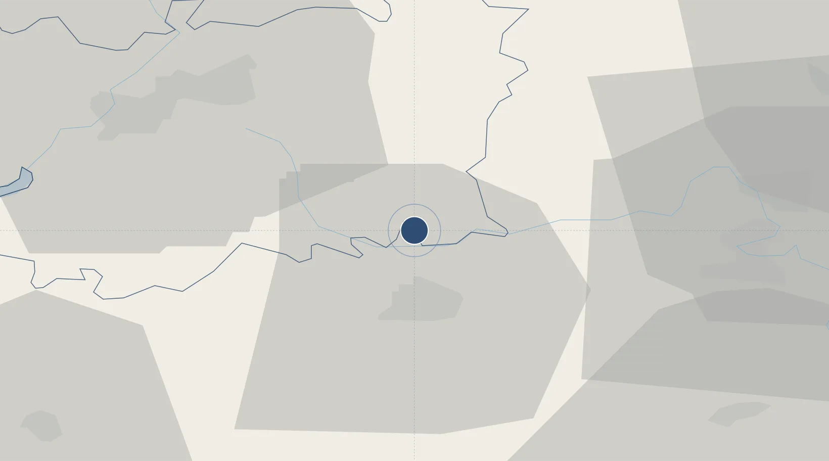
51.6836°, -1.7892°
9,994 ft
Longest runway
1
Runways
286 ft
Elevation
Runway & Layout

Radio Frequencies
TWR
119.15 MHz
TWR
338.22 MHz
GND
234.25 MHz
APP
119 MHz
CAC
124.275 MHz
DIR
133.75 MHz
BRIZE DIRECTOR
PMSV
25.775 MHz
PMSV METRO
PTD
233.47 MHz
PDT
Navaids
FFA TACAN Fairford 113.40 MHz
Runways · 1
| Runway | Dimensions | Surface | True heading | Lit |
|---|---|---|---|---|
| 09/27 | 9,994 × 200ft | Asphalt | 088° | ✓ |
Airport Specifications
IATA code
FFD
ICAO code
EGVA
Airport class
Medium airport
Scheduled service
No
Runway surface
Asphalt
Served city
Fairford, Gloucestershire
Location
Nearby Logistics Neighbours
Airports
- 1RAF Brize Norton16 km
- 2Gloucestershire Airport35 km
- 3London Oxford Airport37 km
- 4RAF Benson48 km
- 5MoD Boscombe Down59 km
Trade Zones
DatabookThe Record of Consolidated Knowledge
United Kingdom beyond logistics?