Transport Functions
Port
Road
Hub Profile
Place type
Populated place
Region
Northern Ireland
Time zone
Europe/London
Elevation
10 m
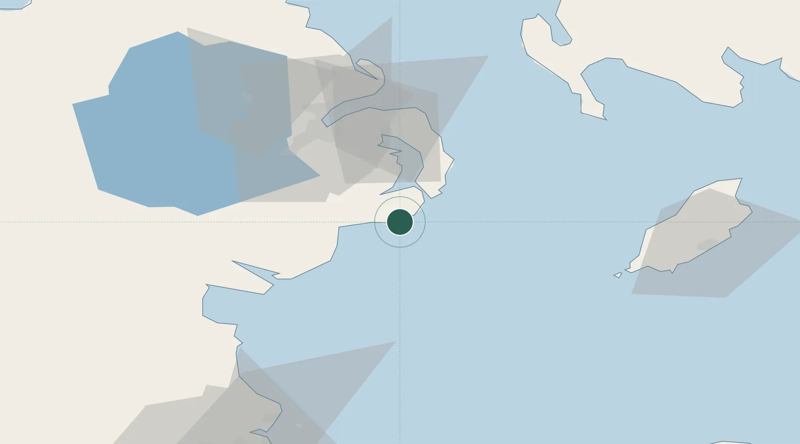
Location
Nearby Logistics Neighbours
Cities
- 1Ardglass2 km
- 2Strangford14 km
- 3Portaferry16 km
- 4Crossgar17 km
- 5Killyleagh18 km
Ports
- 1Ardglass2 km
- 2Kilkeel32 km
- 3Greenore41 km
- 4Warren Point44 km
- 5Belfast44 km
Airports
- 1George Best Belfast City Airport44 km
- 2Belfast International Airport59 km
- 3Isle of Man Airport68 km
- 4Dublin Airport100 km
- 5Weston Airport115 km
Trade Zones
DatabookThe Record of Consolidated Knowledge
United Kingdom beyond logistics?