Transport Functions
Port
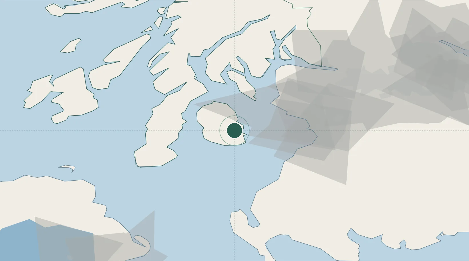
Hub Profile
Place type
Populated place
Region
Scotland
Population
1,030
Time zone
Europe/London
Elevation
8 m
Location
Nearby Logistics Neighbours
Cities
- 1Brodick, Isle of Arran6 km
- 2Shiskine10 km
- 3Carradale21 km
- 4Lochranza, Isle of Arran21 km
- 5Ardrossan23 km
Ports
- 1Ardrossan25 km
- 2Millport28 km
- 3Hunterston29 km
- 4Troon29 km
- 5Campbeltown31 km
Airports
- 1Campbeltown Airport35 km
- 2Glasgow Prestwick Airport36 km
- 3Glasgow Airport59 km
- 4Islay Airport72 km
- 5Colonsay Airstrip90 km
Trade Zones
DatabookThe Record of Consolidated Knowledge
United Kingdom beyond logistics?