UN/LOCODE hub · United Kingdom
GBARD
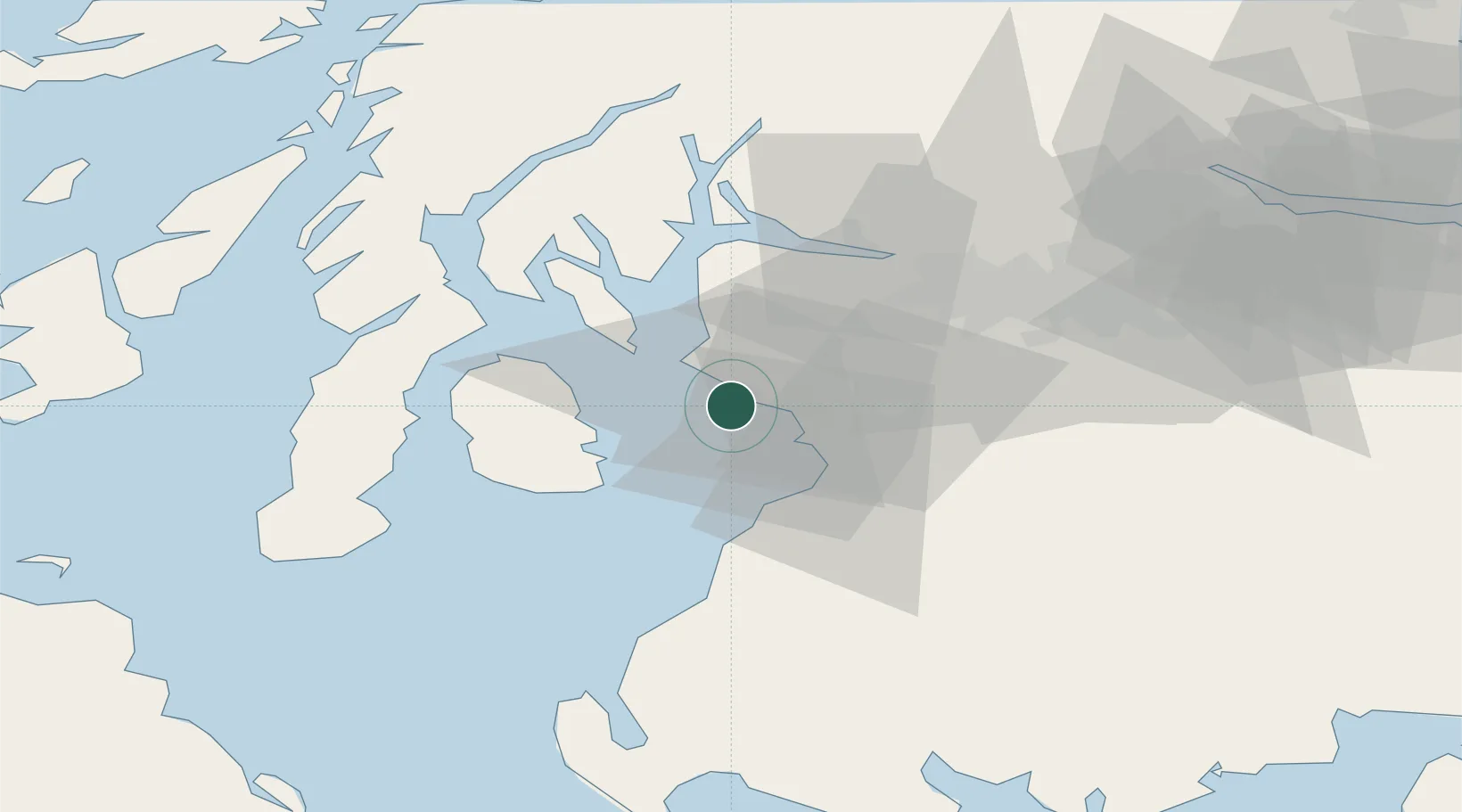
Ardrossan
55.6167°, -4.8167°
10,930
Population
1
Transport functions
Transport Functions
Port
Hub Profile
Place type
Populated place
Region
Scotland
Population
10,930
Time zone
Europe/London
Elevation
21 m
Location
Nearby Logistics Neighbours
Cities
- 1Saltcoats1 km
- 2Irvine10 km
- 3Hunterston12 km
- 4Troon13 km
- 5Cumbraes14 km
Ports
- 1Troon11 km
- 2Hunterston15 km
- 3Millport16 km
- 4Ayr20 km
- 5Largs21 km
Airports
- 1Glasgow Prestwick Airport20 km
- 2Glasgow Airport37 km
- 3Campbeltown Airport58 km
- 4Islay Airport91 km
- 5Edinburgh Airport98 km
Trade Zones
DatabookThe Record of Consolidated Knowledge
United Kingdom beyond logistics?