UN/LOCODE hub · United Kingdom
GBBDI

Brodick, Isle of Arran

55.5833°, -5.1667°
2
Transport functions

Transport Functions

Port
Road
UN/LOCODE

Hub Profile

Region
NAY
GeoNames

Location

Location of GBBDI
Natural Earth 10m (public domain) · NAY · GBBDI · 55.58, -5.17GoogleOSMYandex

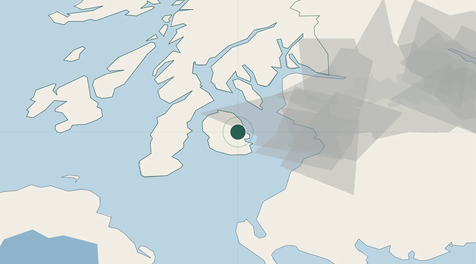
Nearby Logistics Neighbours

Cities
  1. 1Lamlash6 km
  2. 2Shiskine11 km
  3. 3Lochranza, Isle of Arran15 km
  4. 4Carradale19 km
  5. 5Ardrossan22 km
Nearest neighbours — logibook spatial index (haversine) over the source coordinates
Ports
  1. 1Lamlash Harbor6 km
  2. 2Ardrossan23 km
  3. 3Millport24 km
  4. 4Hunterston26 km
  5. 5Rothesay Harbor29 km
Nearest neighbours — logibook spatial index (haversine) over the source coordinates
Airports
  1. 1Campbeltown Airport37 km
  2. 2Glasgow Prestwick Airport38 km
  3. 3Glasgow Airport56 km
  4. 4Islay Airport69 km
  5. 5Colonsay Airstrip85 km
Nearest neighbours — logibook spatial index (haversine) over the source coordinates
Trade Zones
  1. 1Prestwick Airport Free Zone36 km
  2. 2Carlisle Kingmoor Park Enterprise Zone157 km
  3. 3Isle of Man Free Zone and Business Park169 km
  4. 4Blackpool Enterprise Zone244 km
  5. 5Hillhouse Enterprise Zone246 km
Nearest neighbours — logibook spatial index (haversine) over the source coordinates
DatabookThe Record of Consolidated Knowledge
United Kingdom beyond logistics?
Browse databook

All Sources

LocationsUN/LOCODE
UN/LOCODE — free
Portsthe NGA World Port Index
Public domain (US gov)
AirportsOurAirports
Public domain
Trade Zonesthe World Bank SEZ database
CC BY 4.0
Trade ZonesOpen Zone Map
CC BY
← United Kingdom locations