Transport Functions
Port
Hub Profile
Place type
Populated place
Region
Scotland
Population
530
Time zone
Europe/London
Elevation
8 m
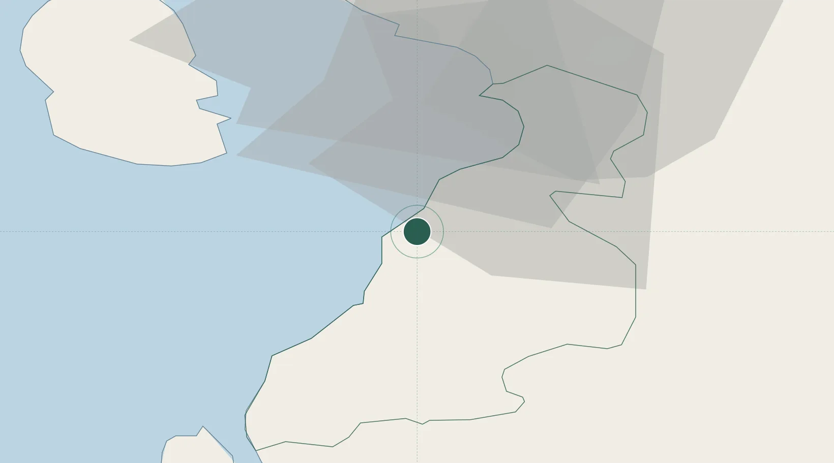
Location
Nearby Logistics Neighbours
Cities
- 1Dunure6 km
- 2Kirkmichael11 km
- 3Girvan12 km
- 4Ayr17 km
- 5Patna18 km
Ports
- 1Ayr18 km
- 2Troon25 km
- 3Lamlash Harbor31 km
- 4Ardrossan35 km
- 5Hunterston47 km
Airports
- 1Glasgow Prestwick Airport23 km
- 2Campbeltown Airport58 km
- 3Glasgow Airport64 km
- 4Islay Airport101 km
- 5George Best Belfast City Airport106 km
Trade Zones
DatabookThe Record of Consolidated Knowledge
United Kingdom beyond logistics?