UN/LOCODE hub · United Kingdom
GBJUR

Jura

56.0167°, -5.9167°
1
Transport functions

Transport Functions

Port
UN/LOCODE

Hub Profile

Region
AGB
GeoNames

Location

Location of GBJUR
Natural Earth 10m (public domain) · AGB · GBJUR · 56.02, -5.92GoogleOSMYandex

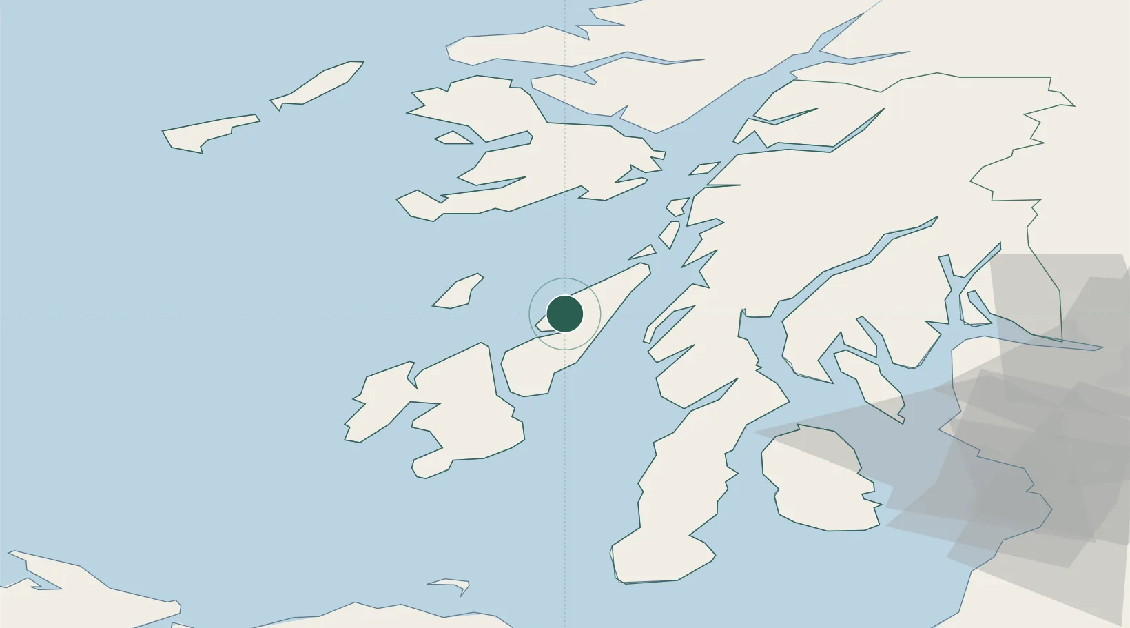
Nearby Logistics Neighbours

Cities
  1. 1Scalasaig, Colonsay17 km
  2. 2Tayvallich19 km
  3. 3Bunnahabhain20 km
  4. 4Craighouse, Isle of Jura21 km
  5. 5Feolin Ferry21 km
Nearest neighbours — logibook spatial index (haversine) over the source coordinates
Ports
  1. 1Crinan (Canal)23 km
  2. 2Ardrishaig29 km
  3. 3Port Ellen46 km
  4. 4Craignure52 km
  5. 5Oban53 km
Nearest neighbours — logibook spatial index (haversine) over the source coordinates
Airports
  1. 1Colonsay Airstrip21 km
  2. 2Islay Airport43 km
  3. 3Oban Airport59 km
  4. 4Campbeltown Airport66 km
  5. 5Coll Airport78 km
Nearest neighbours — logibook spatial index (haversine) over the source coordinates
Trade Zones
  1. 1Prestwick Airport Free Zone99 km
  2. 2Carlisle Kingmoor Park Enterprise Zone222 km
  3. 3Isle of Man Free Zone and Business Park229 km
  4. 4North Eastern Enterprise Zone295 km
  5. 5Dublin International Financial Services Centre297 km
Nearest neighbours — logibook spatial index (haversine) over the source coordinates
DatabookThe Record of Consolidated Knowledge
United Kingdom beyond logistics?
Browse databook

All Sources

LocationsUN/LOCODE
UN/LOCODE — free
Portsthe NGA World Port Index
Public domain (US gov)
AirportsOurAirports
Public domain
Trade Zonesthe World Bank SEZ database
CC BY 4.0
Trade ZonesOpen Zone Map
CC BY
← United Kingdom locations