Transport Functions
Port
Road
Hub Profile
Region
AGB
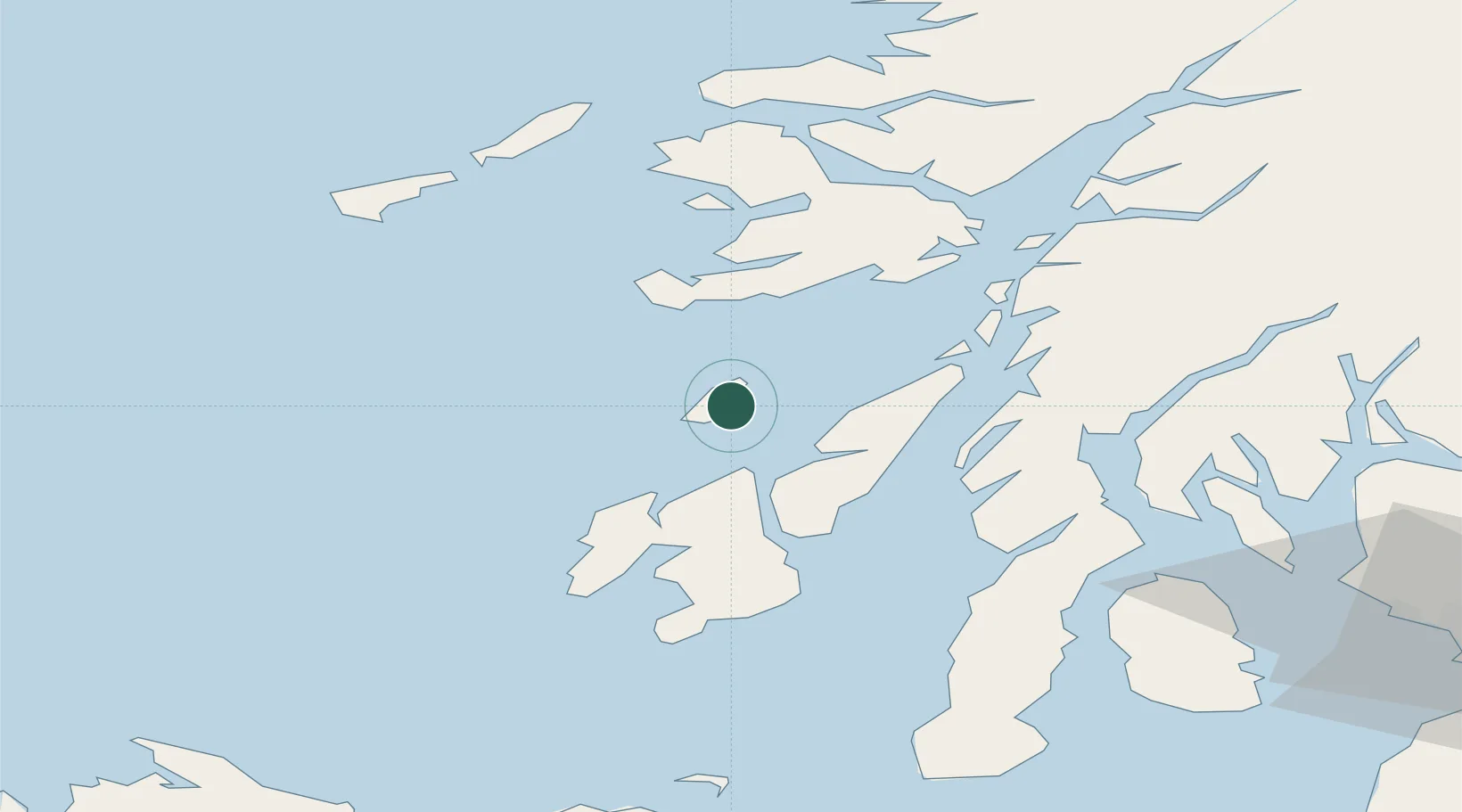
Location
Nearby Logistics Neighbours
Cities
- 1Jura17 km
- 2Bunnahabhain21 km
- 3Port Askaig24 km
- 4Feolin Ferry25 km
- 5Bunessan28 km
Ports
- 1Crinan (Canal)37 km
- 2Ardrishaig45 km
- 3Port Ellen48 km
- 4Craignure53 km
- 5Oban58 km
Airports
- 1Colonsay Airstrip5 km
- 2Islay Airport43 km
- 3Oban Airport65 km
- 4Tiree Airport65 km
- 5Coll Airport66 km
Trade Zones
DatabookThe Record of Consolidated Knowledge
United Kingdom beyond logistics?