Transport Functions
Port
Road
Hub Profile
Place type
Populated place
Region
Scotland
Time zone
Europe/London
Elevation
3 m
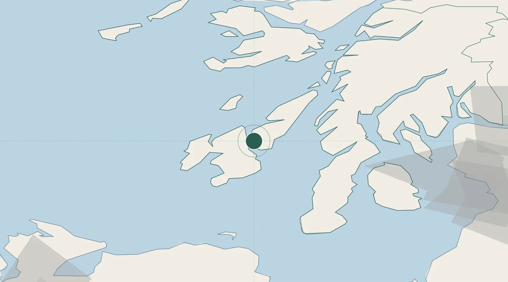
Location
Nearby Logistics Neighbours
Cities
- 1Port Askaig3 km
- 2Bunnahabhain6 km
- 3Craighouse, Isle of Jura8 km
- 4Islay13 km
- 5Jura21 km
Ports
- 1Port Ellen26 km
- 2Crinan (Canal)41 km
- 3Ardrishaig43 km
- 4Campbeltown55 km
- 5Rothesay Harbor64 km
Airports
- 1Islay Airport22 km
- 2Colonsay Airstrip26 km
- 3Campbeltown Airport52 km
- 4Oban Airport80 km
- 5Tiree Airport88 km
Trade Zones
DatabookThe Record of Consolidated Knowledge
United Kingdom beyond logistics?