UN/LOCODE hub · United Kingdom
GBCGJ

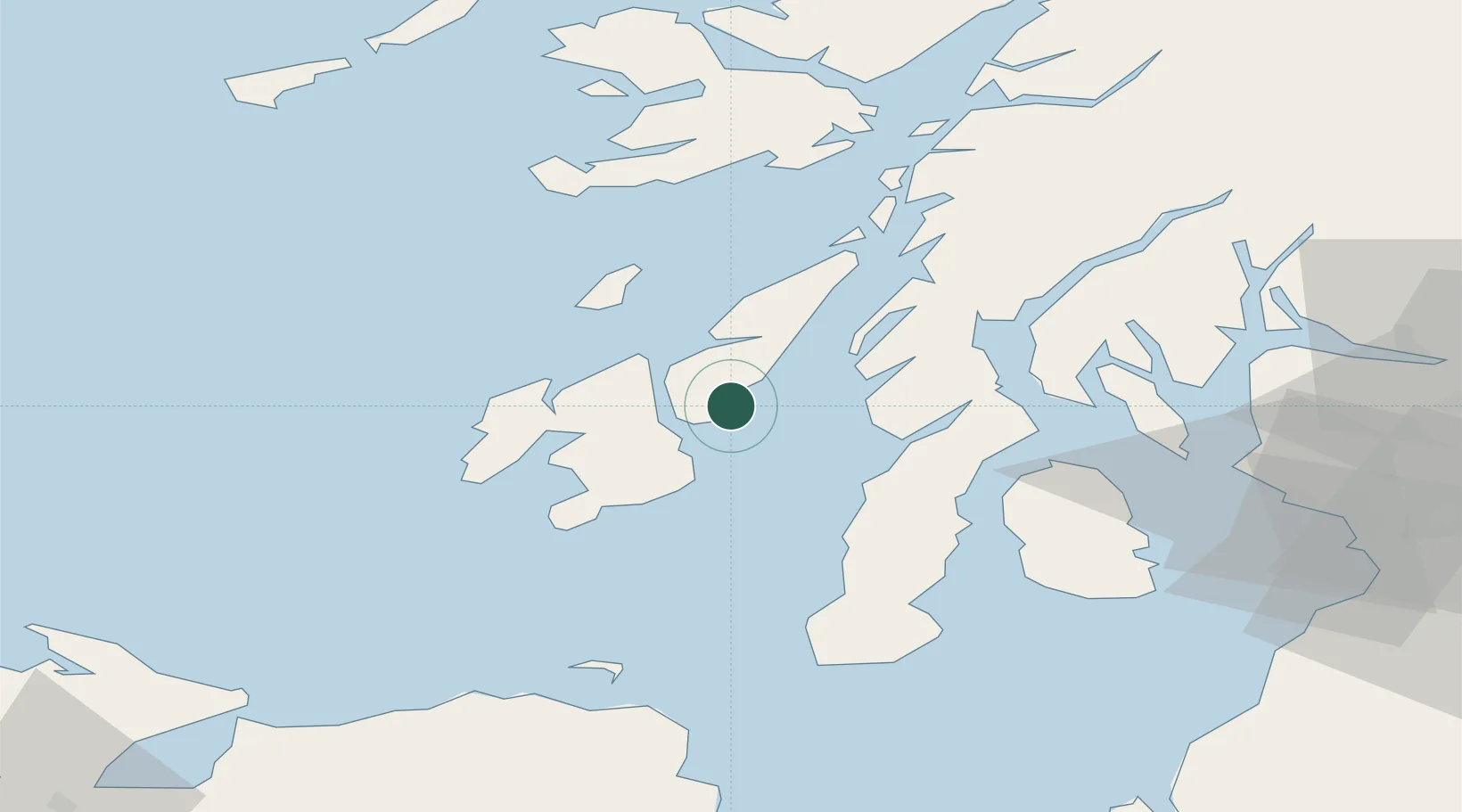
Craighouse, Isle of Jura

55.8333°, -5.9500°
2
Transport functions

Transport Functions

Port
Road
UN/LOCODE

Hub Profile

Region
AGB
GeoNames

Location

Location of GBCGJ
Natural Earth 10m (public domain) · AGB · GBCGJ · 55.83, -5.95GoogleOSMYandex

Nearby Logistics Neighbours

Cities
  1. 1Feolin Ferry8 km
  2. 2Port Askaig11 km
  3. 3Bunnahabhain13 km
  4. 4Islay19 km
  5. 5Jura21 km
Nearest neighbours — logibook spatial index (haversine) over the source coordinates
Ports
  1. 1Port Ellen27 km
  2. 2Crinan (Canal)37 km
  3. 3Ardrishaig37 km
  4. 4Campbeltown50 km
  5. 5Rothesay Harbor56 km
Nearest neighbours — logibook spatial index (haversine) over the source coordinates
Airports
  1. 1Islay Airport26 km
  2. 2Colonsay Airstrip31 km
  3. 3Campbeltown Airport47 km
  4. 4Oban Airport78 km
  5. 5Tiree Airport93 km
Nearest neighbours — logibook spatial index (haversine) over the source coordinates
Trade Zones
  1. 1Prestwick Airport Free Zone91 km
  2. 2Isle of Man Free Zone and Business Park211 km
  3. 3Carlisle Kingmoor Park Enterprise Zone213 km
  4. 4Dublin International Financial Services Centre277 km
  5. 5Blackpool Enterprise Zone296 km
Nearest neighbours — logibook spatial index (haversine) over the source coordinates
DatabookThe Record of Consolidated Knowledge
United Kingdom beyond logistics?
Browse databook

All Sources

LocationsUN/LOCODE
UN/LOCODE — free
Portsthe NGA World Port Index
Public domain (US gov)
AirportsOurAirports
Public domain
Trade Zonesthe World Bank SEZ database
CC BY 4.0
Trade ZonesOpen Zone Map
CC BY
← United Kingdom locations