UN/LOCODE hub · United Kingdom
GBBNB

Bunnahabhain

55.8833°, -6.1333°
2
Transport functions

Transport Functions

Port
Road
UN/LOCODE

Hub Profile

Place type
Populated place
GeoNames
Region
Scotland
GeoNames
Time zone
Europe/London
GeoNames
Elevation
10 m
GeoNames

Location

Location of GBBNB
Natural Earth 10m (public domain) · Scotland · GBBNB · 55.88, -6.13GoogleOSMYandex

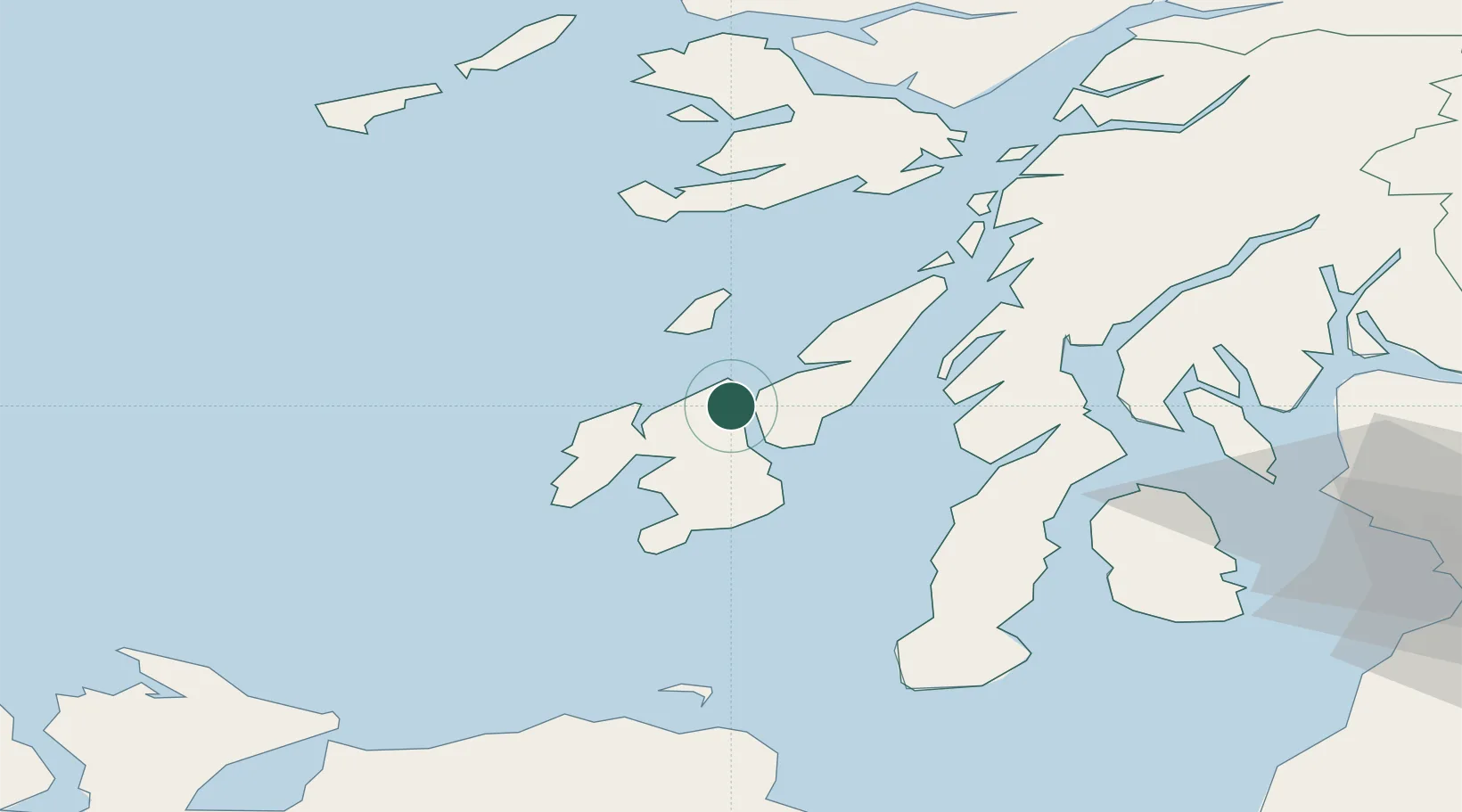
Nearby Logistics Neighbours

Cities
  1. 1Port Askaig4 km
  2. 2Feolin Ferry6 km
  3. 3Islay12 km
  4. 4Craighouse, Isle of Jura13 km
  5. 5Bruichladdich20 km
Nearest neighbours — logibook spatial index (haversine) over the source coordinates
Ports
  1. 1Port Ellen28 km
  2. 2Crinan (Canal)42 km
  3. 3Ardrishaig45 km
  4. 4Campbeltown60 km
  5. 5Rothesay Harbor68 km
Nearest neighbours — logibook spatial index (haversine) over the source coordinates
Airports
  1. 1Colonsay Airstrip21 km
  2. 2Islay Airport24 km
  3. 3Campbeltown Airport57 km
  4. 4Oban Airport79 km
  5. 5Tiree Airport82 km
Nearest neighbours — logibook spatial index (haversine) over the source coordinates
Trade Zones
  1. 1Prestwick Airport Free Zone104 km
  2. 2Isle of Man Free Zone and Business Park221 km
  3. 3Carlisle Kingmoor Park Enterprise Zone226 km
  4. 4Dublin International Financial Services Centre282 km
  5. 5Blackpool Enterprise Zone307 km
Nearest neighbours — logibook spatial index (haversine) over the source coordinates
DatabookThe Record of Consolidated Knowledge
United Kingdom beyond logistics?
Browse databook

All Sources

LocationsUN/LOCODE
UN/LOCODE — free
Portsthe NGA World Port Index
Public domain (US gov)
AirportsOurAirports
Public domain
Trade Zonesthe World Bank SEZ database
CC BY 4.0
Trade ZonesOpen Zone Map
CC BY
← United Kingdom locations