Transport Functions
Rail
Road
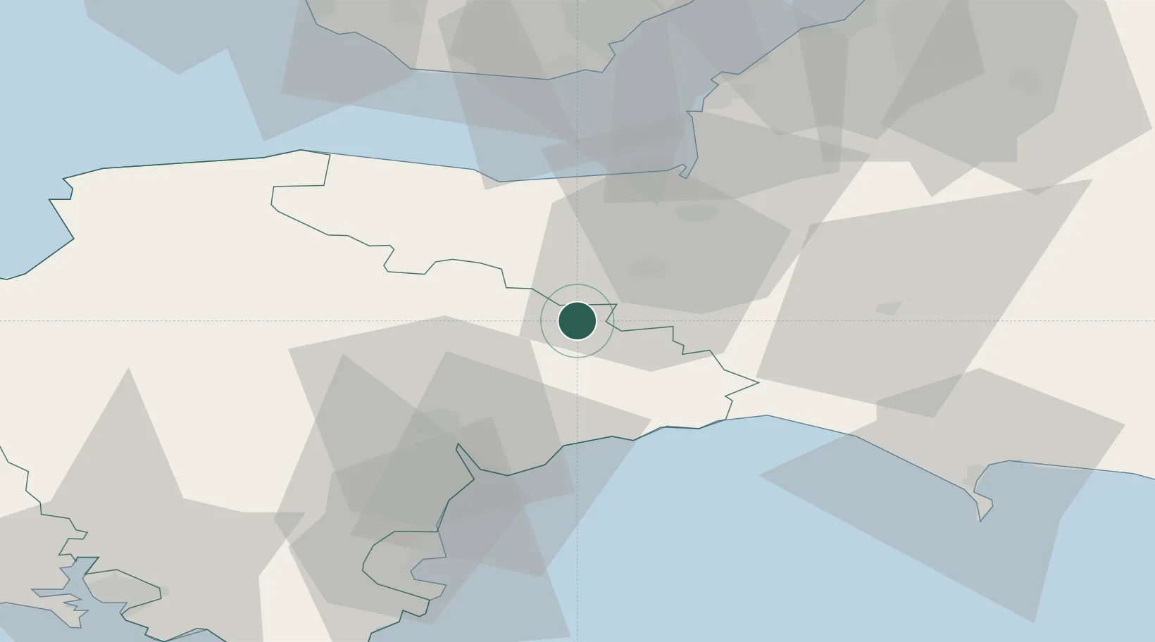
Hub Profile
Place type
Populated place
Region
England
Population
1,519
Time zone
Europe/London
Elevation
140 m
Location
Nearby Logistics Neighbours
Cities
- 1Sampford Arundel6 km
- 2Milverton18 km
- 3Whimple19 km
- 4Bampton19 km
- 5Colyton21 km
Ports
- 1Bridgwater29 km
- 2Watchet Harbor31 km
- 3Bridport Harbour40 km
- 4Teignmouth Harbour45 km
- 5Barry54 km
Airports
- 1Exeter International Airport24 km
- 2RNAS Yeovilton43 km
- 3Cardiff International Airport54 km
- 4MOD St Athan56 km
- 5Bristol Airport63 km
Trade Zones
DatabookThe Record of Consolidated Knowledge
United Kingdom beyond logistics?