Transport Functions
Rail
Road
Hub Profile
Place type
Populated place
Region
England
Population
1,173
Time zone
Europe/London
Elevation
51 m
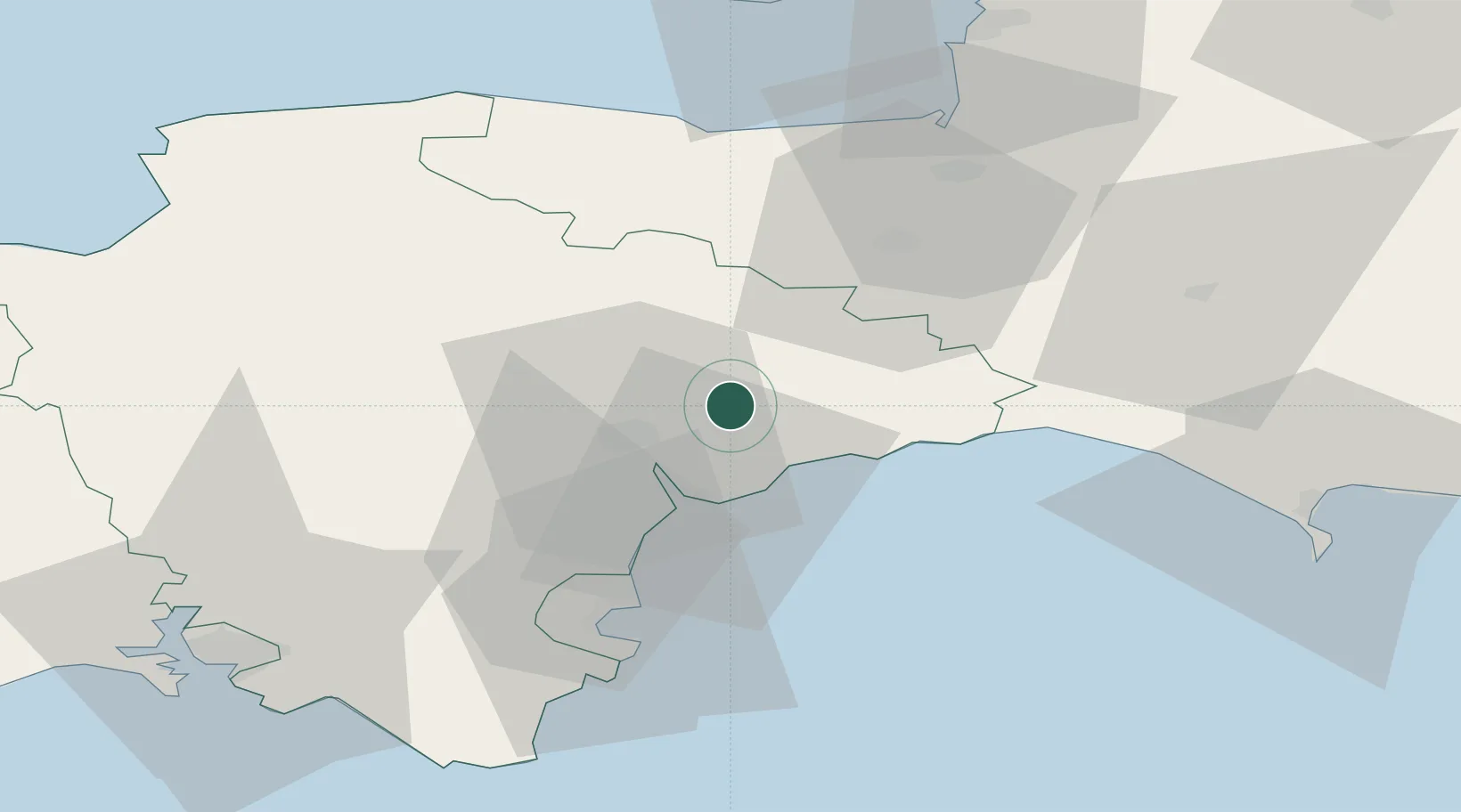
Location
Nearby Logistics Neighbours
Cities
- 1Pinhoe9 km
- 2Sidmouth12 km
- 3Topsham12 km
- 4Budleigh Salterton15 km
- 5Exeter15 km
Ports
- 1Teignmouth Harbour26 km
- 2Torquay Harbour36 km
- 3Bridport Harbour41 km
- 4Brixham Harbour42 km
- 5Watchet Harbor46 km
Airports
- 1Exeter International Airport6 km
- 2RNAS Yeovilton57 km
- 3Royal Marines Base Chivenor67 km
- 4Cardiff International Airport70 km
- 5MOD St Athan71 km
Trade Zones
DatabookThe Record of Consolidated Knowledge
United Kingdom beyond logistics?