Transport Functions
Rail
Road
Hub Profile
Place type
Populated place
Region
England
Time zone
Europe/London
Elevation
102 m
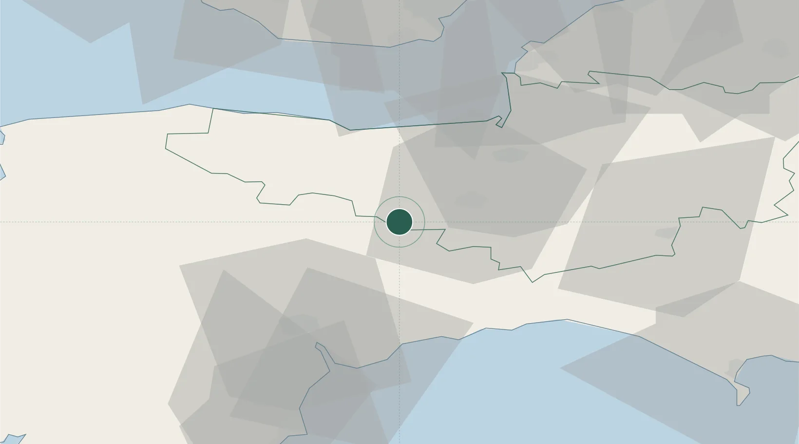
Location
Nearby Logistics Neighbours
Cities
- 1Hemyock6 km
- 2Milverton13 km
- 3Bampton15 km
- 4Luxborough22 km
- 5Williton23 km
Ports
- 1Watchet Harbor25 km
- 2Bridgwater26 km
- 3Bridport Harbour45 km
- 4Barry48 km
- 5Teignmouth Harbour49 km
Airports
- 1Exeter International Airport28 km
- 2RNAS Yeovilton44 km
- 3Cardiff International Airport48 km
- 4MOD St Athan50 km
- 5Bristol Airport60 km
Trade Zones
DatabookThe Record of Consolidated Knowledge
United Kingdom beyond logistics?