Transport Functions
Rail
Road
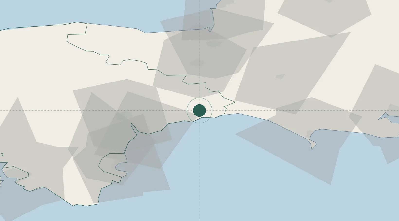
Hub Profile
Place type
Populated place
Region
England
Population
2,668
Time zone
Europe/London
Elevation
29 m
Location
Nearby Logistics Neighbours
Cities
- 1Seaton4 km
- 2Axmouth6 km
- 3Branscombe7 km
- 4Beer7 km
- 5Lyme Regis11 km
Ports
- 1Bridport Harbour23 km
- 2Teignmouth Harbour37 km
- 3Bridgwater43 km
- 4Torquay Harbour45 km
- 5Weymouth Harbour47 km
Airports
- 1Exeter International Airport23 km
- 2RNAS Yeovilton43 km
- 3Cardiff International Airport74 km
- 4Bristol Airport75 km
- 5MOD St Athan77 km
Trade Zones
DatabookThe Record of Consolidated Knowledge
United Kingdom beyond logistics?