Transport Functions
Port
Road
Hub Profile
Place type
Populated place
Region
England
Time zone
Europe/London
Elevation
42 m
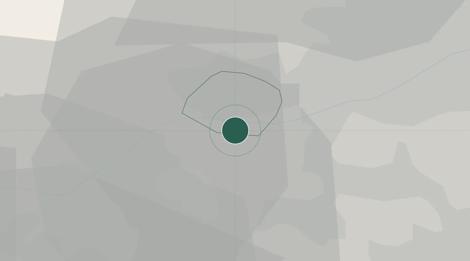
Location
Nearby Logistics Neighbours
Cities
- 1Melbourne4 km
- 2Newton Solney9 km
- 3The Forties9 km
- 4Hilton/Derby10 km
- 5Little Eaton11 km
Ports
- 1Manchester88 km
- 2Boston98 km
- 3Goole104 km
- 4Howdendyke106 km
- 5Garlston111 km
Airports
- 1East Midlands Airport10 km
- 2Nottingham City Airport27 km
- 3Birmingham Airport48 km
- 4Coventry Airport53 km
- 5RAF Cosford61 km
DatabookThe Record of Consolidated Knowledge
United Kingdom beyond logistics?