Transport Functions
Road
Multimodal
Hub Profile
Place type
Populated place
Region
England
Time zone
Europe/London
Elevation
34 m
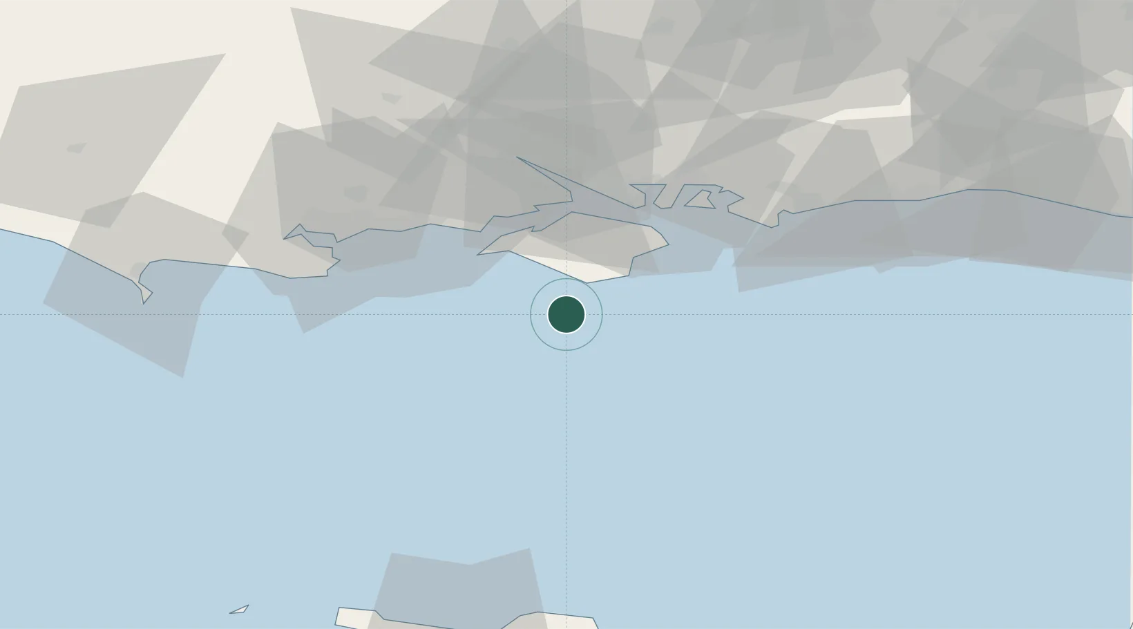
Location
Nearby Logistics Neighbours
Cities
- 1Saint Catherine's Point8 km
- 2Whitwell11 km
- 3Ventnor15 km
- 4Brighstone15 km
- 5Shanklin17 km
Ports
- 1Yarmouth Harbour25 km
- 2Cowes Harbour30 km
- 3Fawley Marine Terminal35 km
- 4Portsmouth Harbour37 km
- 5Southampton45 km
Airports
- 1Bournemouth Airport47 km
- 2Southampton Airport50 km
- 3MoD Boscombe Down78 km
- 4Lasham Airfield79 km
- 5Brighton City Airport82 km
Trade Zones
- 1Solent Enterprise Zone42 km
- 2Southampton Free Zone46 km
- 3EZ³ Enterprise Zone68 km
- 4Dorset Innovation Park68 km
- 5ZFU Cherbourg-Octeville98 km
DatabookThe Record of Consolidated Knowledge
United Kingdom beyond logistics?