UN/LOCODE hub · United Kingdom
GBCNP

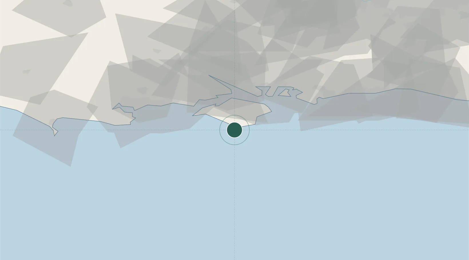
Saint Catherine's Point

50.5667°, -1.3000°
1
Transport functions

Transport Functions

Port
UN/LOCODE

Hub Profile

Region
IOW
GeoNames

Location

Location of GBCNP
Natural Earth 10m (public domain) · IOW · GBCNP · 50.57, -1.30GoogleOSMYandex

Nearby Logistics Neighbours

Cities
  1. 1Whitwell4 km
  2. 2Holbury8 km
  3. 3Ventnor8 km
  4. 4Brighstone10 km
  5. 5Shanklin10 km
Nearest neighbours — logibook spatial index (haversine) over the source coordinates
Ports
  1. 1Yarmouth Harbour21 km
  2. 2Cowes Harbour22 km
  3. 3Fawley Marine Terminal28 km
  4. 4Portsmouth Harbour30 km
  5. 5Southampton38 km
Nearest neighbours — logibook spatial index (haversine) over the source coordinates
Airports
  1. 1Southampton Airport43 km
  2. 2Bournemouth Airport45 km
  3. 3Lasham Airfield72 km
  4. 4MoD Boscombe Down72 km
  5. 5Brighton City Airport77 km
Nearest neighbours — logibook spatial index (haversine) over the source coordinates
Trade Zones
  1. 1Solent Enterprise Zone34 km
  2. 2Southampton Free Zone39 km
  3. 3EZ³ Enterprise Zone61 km
  4. 4Dorset Innovation Park69 km
  5. 5Thames Valley Business Growth Hub Berkshire102 km
Nearest neighbours — logibook spatial index (haversine) over the source coordinates
DatabookThe Record of Consolidated Knowledge
United Kingdom beyond logistics?
Browse databook

All Sources

LocationsUN/LOCODE
UN/LOCODE — free
Portsthe NGA World Port Index
Public domain (US gov)
AirportsOurAirports
Public domain
Trade Zonesthe World Bank SEZ database
CC BY 4.0
Trade ZonesOpen Zone Map
CC BY
← United Kingdom locations