Medium airport · United Kingdom
Brighton City AirportEGKA
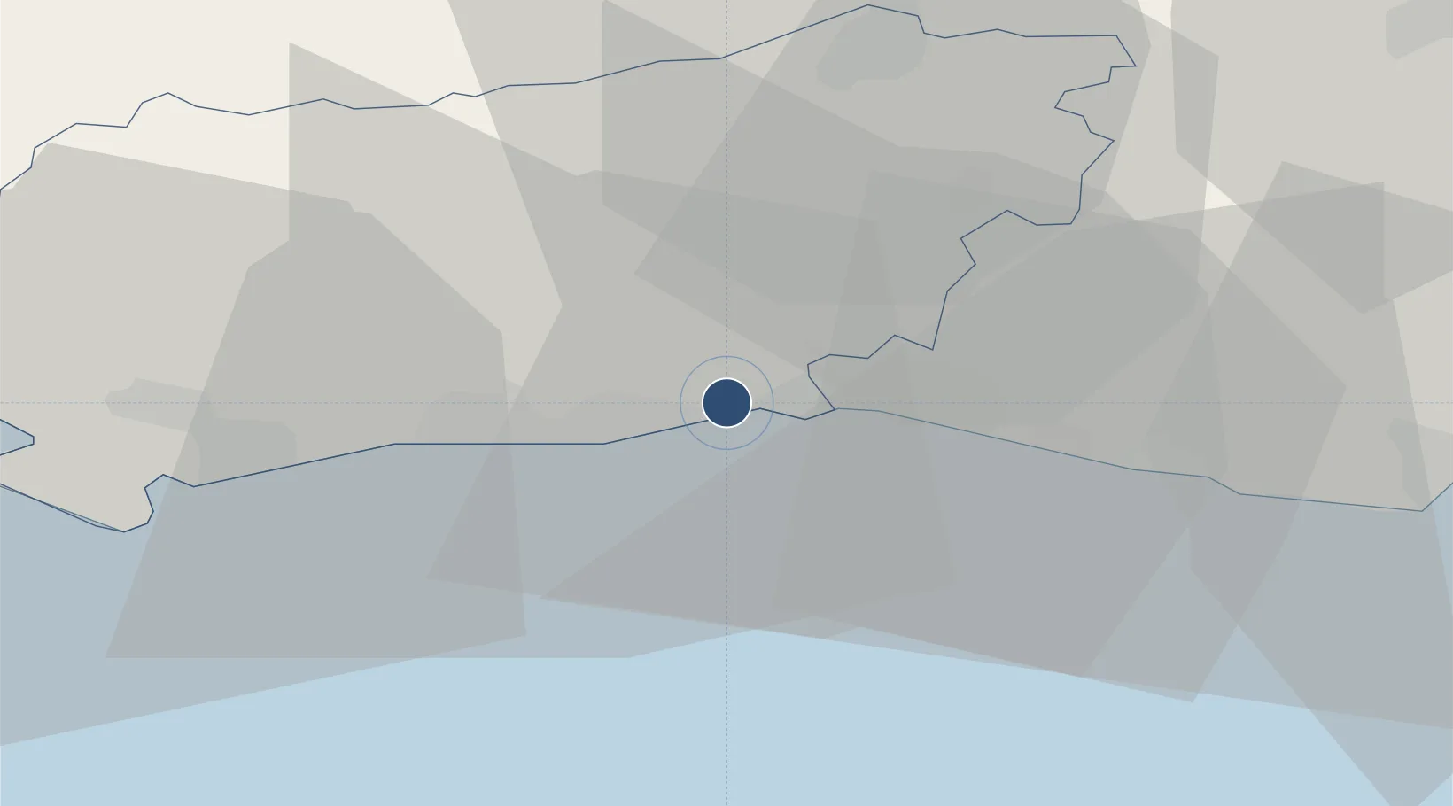
50.8356°, -0.2972°
3,385 ft
Longest runway
3
Runways
7 ft
Elevation
Runway & Layout

Radio Frequencies
ATIS
130.975 MHz
TWR
125.405 MHz
APP
123.155 MHz
A/G
123.155 MHz
RDO
Runways · 3
| Runway | Dimensions | Surface | True heading | Lit |
|---|---|---|---|---|
| 02/20 | 3,385 × 59ft | Asphalt | 022° | ✓ |
| 06/24 | 2,621 × 82ft | GRASS | 064° | — |
| 13/31 | 1,339 × 59ft | GRASS | 125° | — |
Airport Specifications
IATA code
ESH
ICAO code
EGKA
Airport class
Medium airport
Scheduled service
No
Runway surface
Asphalt
Served city
Brighton, East Sussex
Location
Nearby Logistics Neighbours
Airports
- 1London Gatwick Airport36 km
- 2Farnborough Airport59 km
- 3London Biggin Hill Airport60 km
- 4RAF Odiham63 km
- 5Lasham Airfield65 km
Cities
- 1Shoreham-by-Sea2 km
- 2Sompting4 km
- 3Southwick5 km
- 4Worthing6 km
- 5Ferring11 km
Ports
- 1Shoreham Harbour4 km
- 2Littlehampton Harbour18 km
- 3Newhaven Harbour25 km
- 4Portsmouth Harbour57 km
- 5Cowes Harbour71 km
Trade Zones
DatabookThe Record of Consolidated Knowledge
United Kingdom beyond logistics?