Transport Functions
Multimodal
Hub Profile
Place type
Populated place
Region
England
Population
619
Time zone
Europe/London
Elevation
77 m
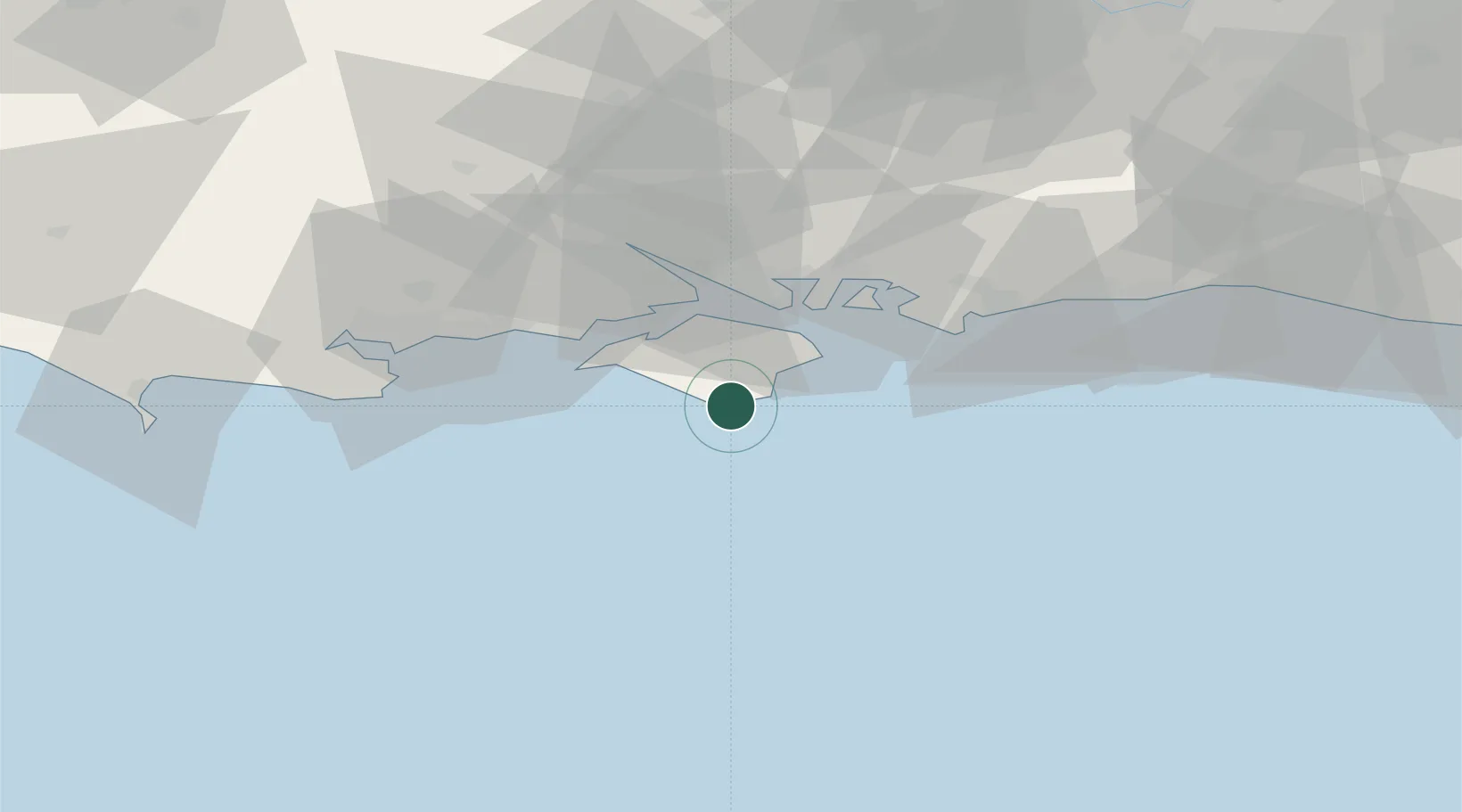
Location
Nearby Logistics Neighbours
Cities
- 1Ventnor4 km
- 2Saint Catherine's Point4 km
- 3Shanklin6 km
- 4Sandown10 km
- 5Brighstone11 km
Ports
- 1Cowes Harbour21 km
- 2Yarmouth Harbour22 km
- 3Portsmouth Harbour26 km
- 4Fawley Marine Terminal27 km
- 5Southampton37 km
Airports
- 1Southampton Airport42 km
- 2Bournemouth Airport47 km
- 3Lasham Airfield69 km
- 4MoD Boscombe Down72 km
- 5Brighton City Airport73 km
Trade Zones
DatabookThe Record of Consolidated Knowledge
United Kingdom beyond logistics?