Transport Functions
Port
Road
Hub Profile
Place type
Populated place
Region
England
Population
5,976
Time zone
Europe/London
Elevation
35 m
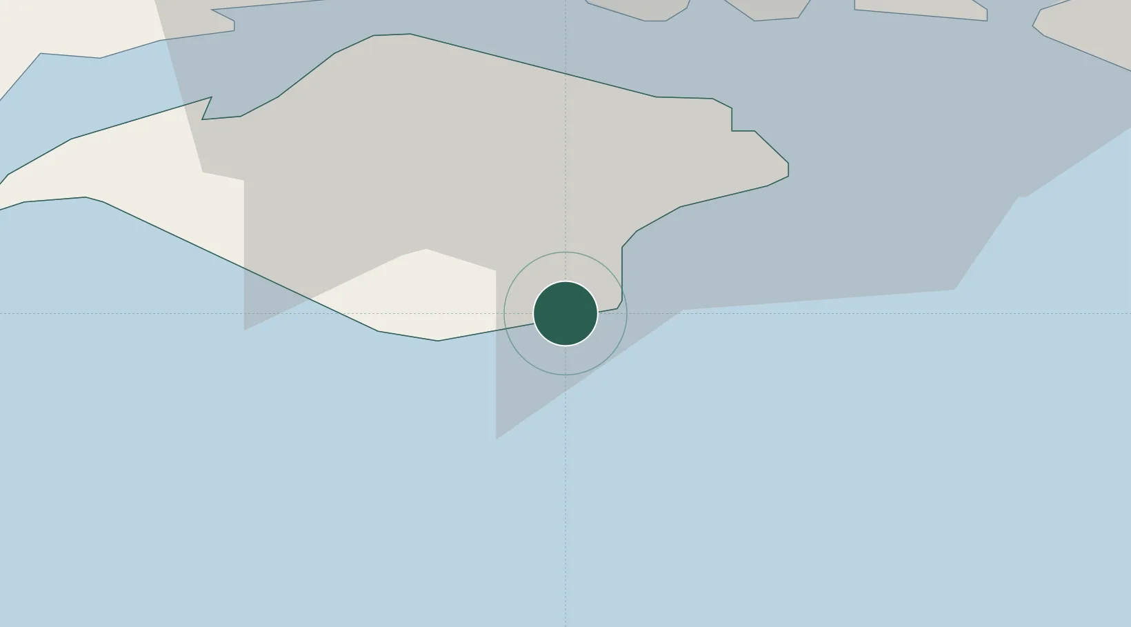
Location
Nearby Logistics Neighbours
Cities
- 1Shanklin2 km
- 2Whitwell4 km
- 3Sandown7 km
- 4Saint Catherine's Point8 km
- 5Downend10 km
Ports
- 1Cowes Harbour20 km
- 2Portsmouth Harbour23 km
- 3Yarmouth Harbour24 km
- 4Fawley Marine Terminal26 km
- 5Southampton36 km
Airports
- 1Southampton Airport41 km
- 2Bournemouth Airport49 km
- 3Lasham Airfield66 km
- 4Brighton City Airport69 km
- 5MoD Boscombe Down72 km
Trade Zones
DatabookThe Record of Consolidated Knowledge
United Kingdom beyond logistics?