UN/LOCODE hub · United Kingdom
GBSAI
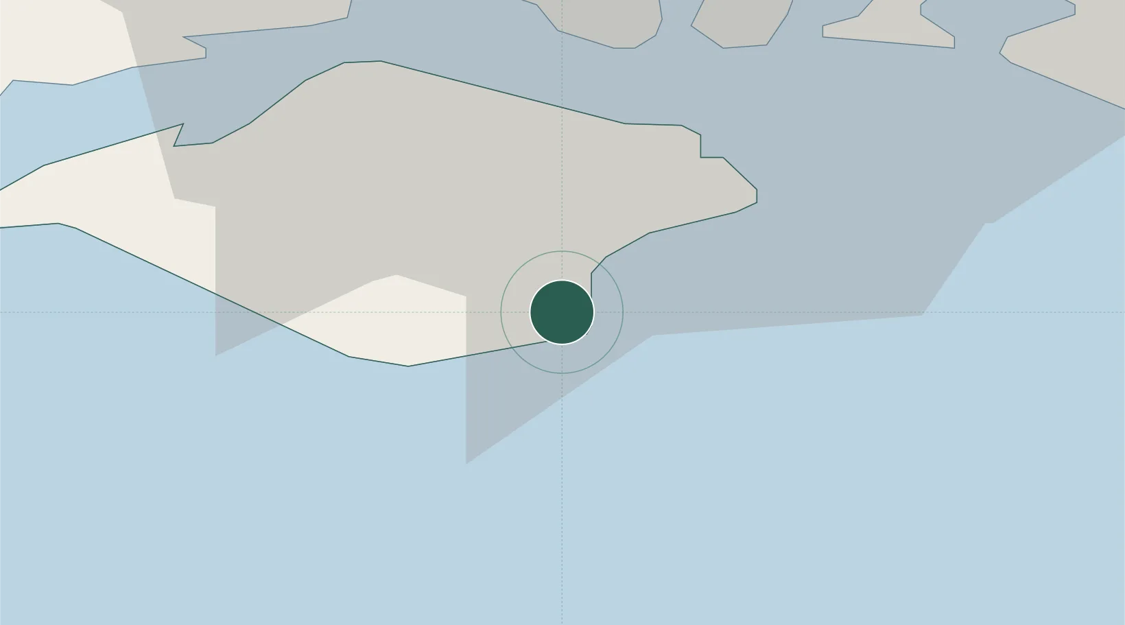
Shanklin
50.6167°, -1.1833°
8,055
Population
1
Transport functions
Transport Functions
Port
Hub Profile
Place type
Populated place
Region
England
Population
8,055
Time zone
Europe/London
Elevation
47 m
Location
Nearby Logistics Neighbours
Cities
- 1Ventnor2 km
- 2Sandown4 km
- 3Whitwell6 km
- 4Downend8 km
- 5Saint Helens10 km
Ports
- 1Cowes Harbour19 km
- 2Portsmouth Harbour21 km
- 3Yarmouth Harbour24 km
- 4Fawley Marine Terminal25 km
- 5Southampton35 km
Airports
- 1Southampton Airport39 km
- 2Bournemouth Airport50 km
- 3Lasham Airfield64 km
- 4Brighton City Airport67 km
- 5RAF Odiham71 km
Trade Zones
DatabookThe Record of Consolidated Knowledge
United Kingdom beyond logistics?