UN/LOCODE hub · United Kingdom
GBBXS
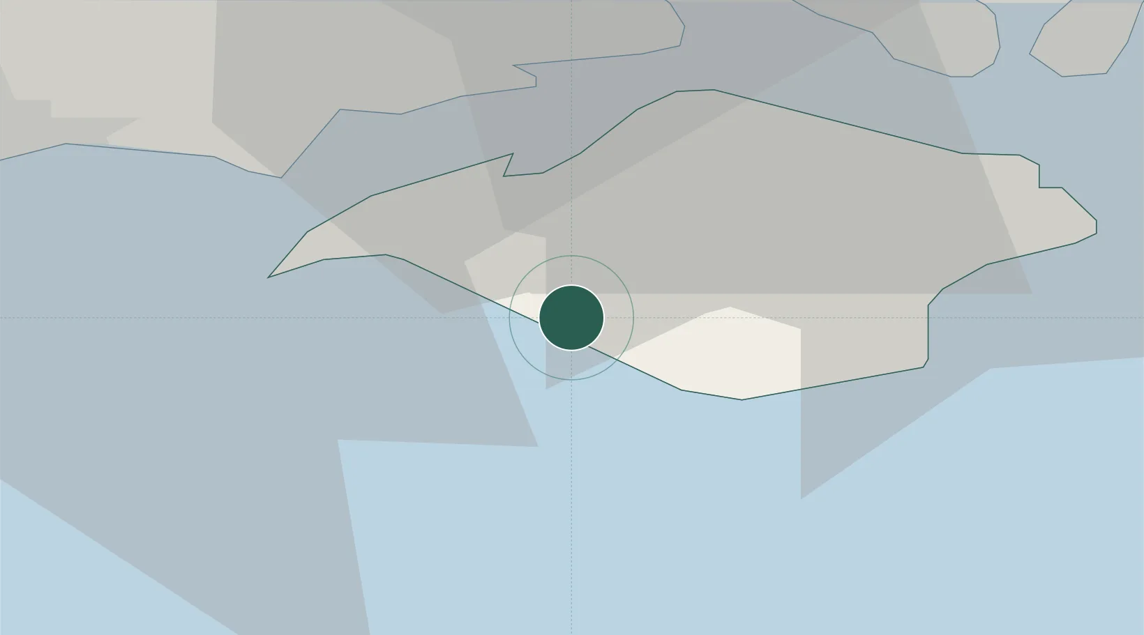
Brighstone
50.6333°, -1.3833°
1,157
Population
1
Transport functions
Transport Functions
Port
Hub Profile
Place type
Populated place
Region
England
Population
1,157
Time zone
Europe/London
Elevation
39 m
Location
Nearby Logistics Neighbours
Cities
- 1Newtown8 km
- 2Seaview8 km
- 3Saint Catherine's Point10 km
- 4Freshwater10 km
- 5Newport10 km
Ports
- 1Yarmouth Harbour11 km
- 2Cowes Harbour16 km
- 3Fawley Marine Terminal21 km
- 4Portsmouth Harbour27 km
- 5Southampton30 km
Airports
- 1Southampton Airport35 km
- 2Bournemouth Airport36 km
- 3MoD Boscombe Down63 km
- 4Lasham Airfield66 km
- 5RAF Odiham74 km
Trade Zones
DatabookThe Record of Consolidated Knowledge
United Kingdom beyond logistics?