Transport Functions
Port
Hub Profile
Place type
Populated place
Region
England
Population
5,394
Time zone
Europe/London
Elevation
102 m
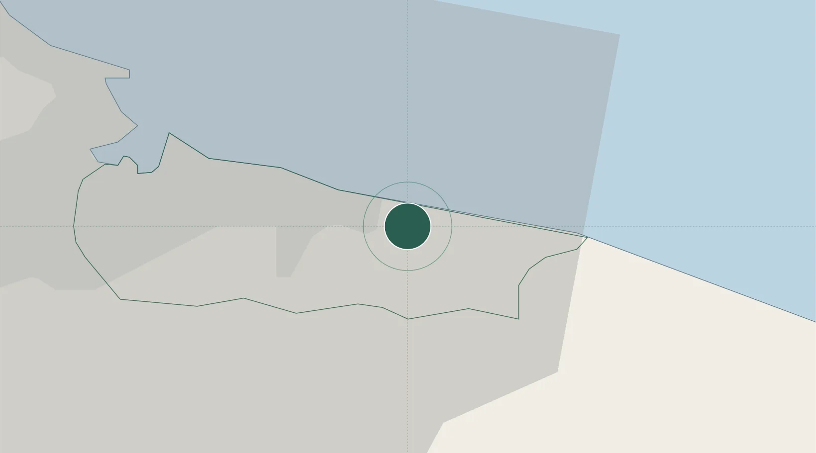
Location
Nearby Logistics Neighbours
Cities
- 1Skinningrove4 km
- 2Liverton6 km
- 3Redcar8 km
- 4Staithes9 km
- 5Seal Sands15 km
Ports
- 1Teesport16 km
- 2Hartlepool22 km
- 3Whitby22 km
- 4Seaham39 km
- 5Scarborough47 km
Airports
- 1Teesside International Airport33 km
- 2RAF Leeming49 km
- 3RAF Topcliffe50 km
- 4Newcastle International Airport71 km
- 5Leeds East Airport83 km
Trade Zones
DatabookThe Record of Consolidated Knowledge
United Kingdom beyond logistics?