UN/LOCODE hub · United Kingdom
GBESG
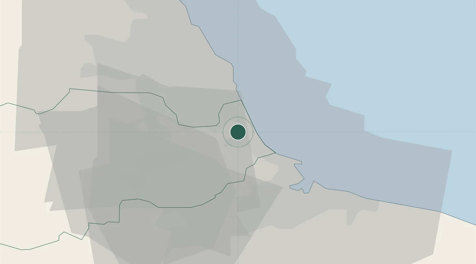
Easington
54.7833°, -1.3500°
7,193
Population
1
Transport functions
Transport Functions
Port
Hub Profile
Place type
Populated place
Region
England
Population
7,193
Time zone
Europe/London
Elevation
134 m
Location
Nearby Logistics Neighbours
Cities
- 1Thornley7 km
- 2Hartlepool14 km
- 3Chester-le-Street16 km
- 4Sunderland16 km
- 5Brandon18 km
Ports
- 1Seaham6 km
- 2Hartlepool14 km
- 3Sunderland15 km
- 4Teesport20 km
- 5Tynemouth24 km
Airports
- 1Teesside International Airport31 km
- 2Newcastle International Airport36 km
- 3RAF Leeming55 km
- 4RAF Topcliffe64 km
- 5RAF Spadeadam82 km
Trade Zones
DatabookThe Record of Consolidated Knowledge
United Kingdom beyond logistics?