Transport Functions
Port
Road
Hub Profile
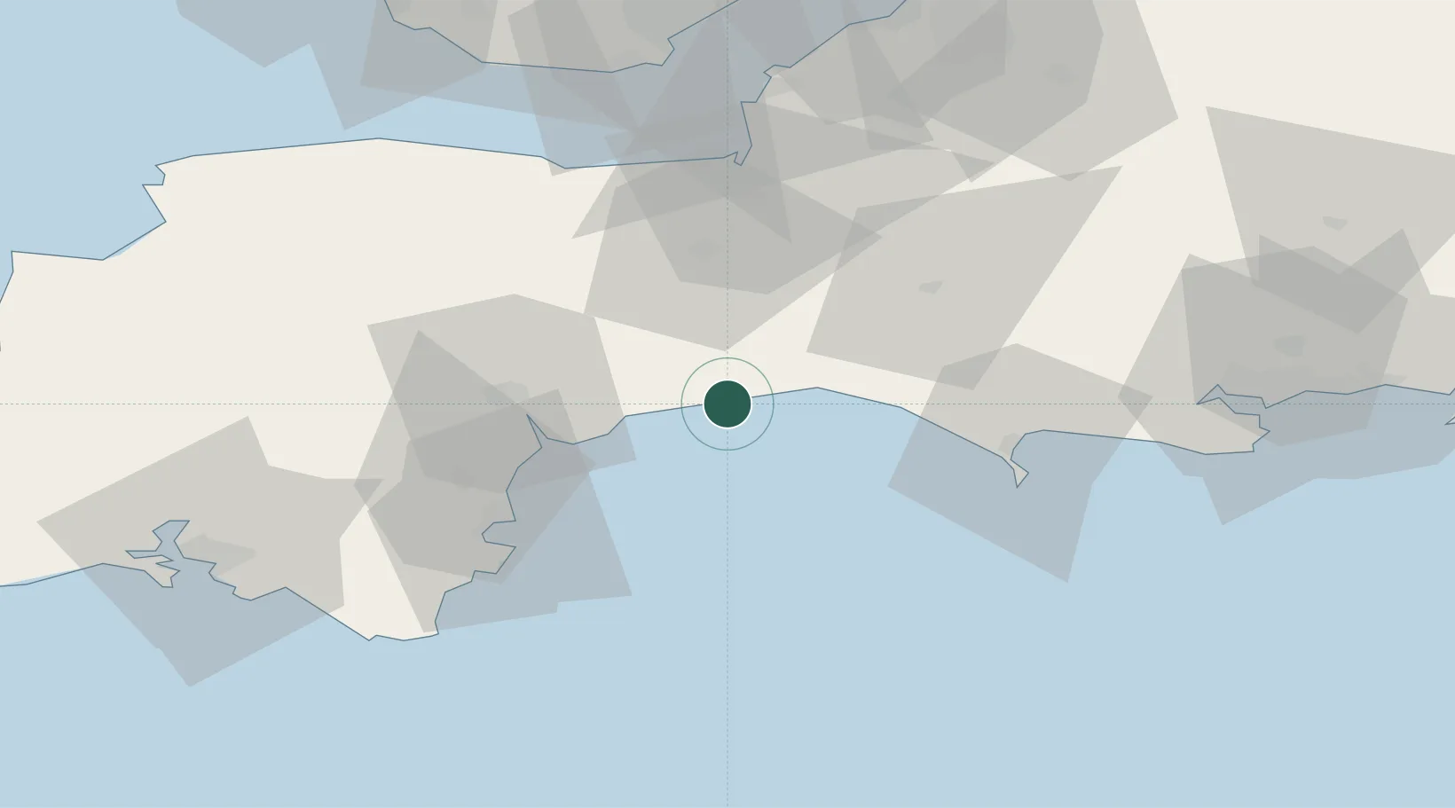
Place type
Populated place
Region
England
Population
496
Time zone
Europe/London
Elevation
14 m
Location
Nearby Logistics Neighbours
Cities
- 1Seaton3 km
- 2Beer3 km
- 3Branscombe6 km
- 4Colyton6 km
- 5Lyme Regis9 km
Ports
- 1Bridport Harbour20 km
- 2Teignmouth Harbour36 km
- 3Torquay Harbour43 km
- 4Weymouth Harbour43 km
- 5Portland Harbour45 km
Airports
- 1Exeter International Airport26 km
- 2RNAS Yeovilton45 km
- 3Bristol Airport79 km
- 4Cardiff International Airport80 km
- 5MOD St Athan83 km
Trade Zones
DatabookThe Record of Consolidated Knowledge
United Kingdom beyond logistics?