Transport Functions
Port
Rail
Road
Hub Profile
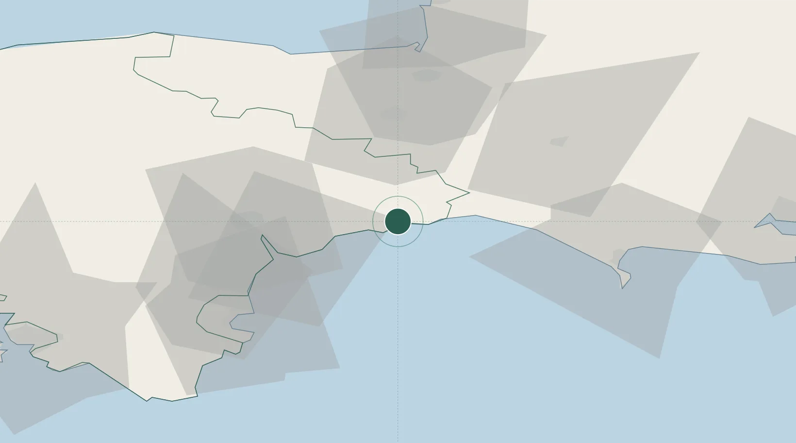
Place type
Populated place
Region
England
Population
7,100
Time zone
Europe/London
Elevation
8 m
Location
Nearby Logistics Neighbours
Cities
- 1Axmouth3 km
- 2Colyton4 km
- 3Beer4 km
- 4Branscombe4 km
- 5Lyme Regis11 km
Ports
- 1Bridport Harbour22 km
- 2Teignmouth Harbour35 km
- 3Torquay Harbour42 km
- 4Weymouth Harbour46 km
- 5Brixham Harbour47 km
Airports
- 1Exeter International Airport23 km
- 2RNAS Yeovilton45 km
- 3Cardiff International Airport78 km
- 4Bristol Airport78 km
- 5MOD St Athan80 km
Trade Zones
DatabookThe Record of Consolidated Knowledge
United Kingdom beyond logistics?