UN/LOCODE hub · United Kingdom
GBLYR
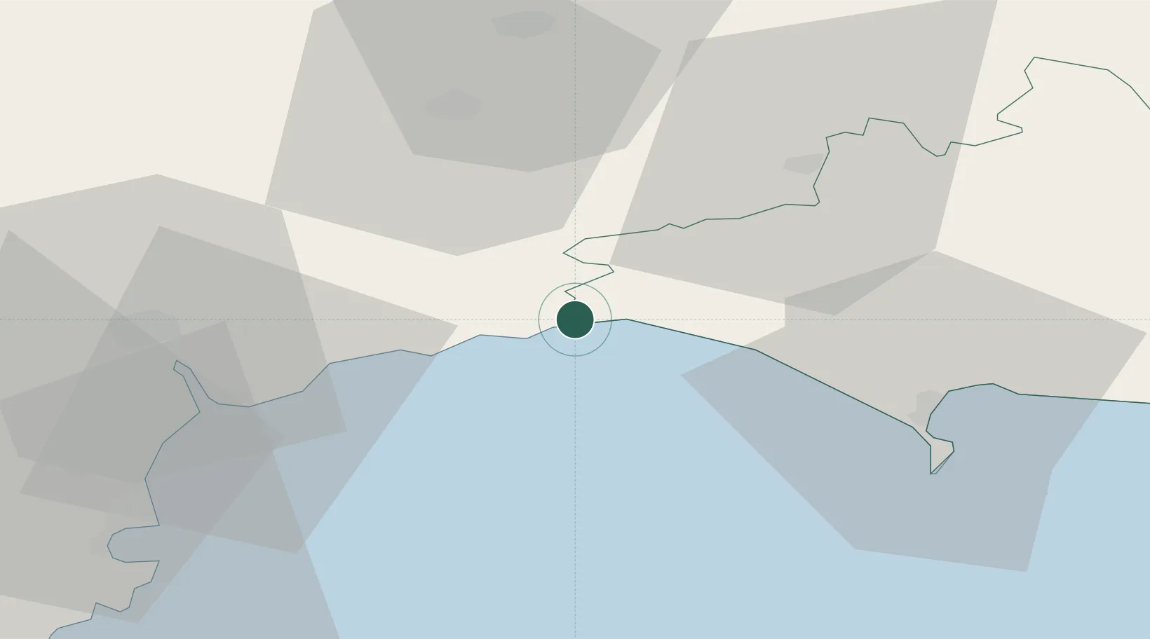
Lyme Regis
50.7333°, -2.9333°
4,712
Population
2
Transport functions
Transport Functions
Port
Road
Hub Profile
Place type
Populated place
Region
England
Population
4,712
Time zone
Europe/London
Elevation
15 m
Location
Nearby Logistics Neighbours
Ports
- 1Bridport Harbour12 km
- 2Weymouth Harbour36 km
- 3Portland Harbour39 km
- 4Bridgwater45 km
- 5Teignmouth Harbour45 km
Airports
- 1Exeter International Airport34 km
- 2RNAS Yeovilton37 km
- 3Bristol Airport74 km
- 4Bournemouth Airport77 km
- 5Cardiff International Airport79 km
Trade Zones
DatabookThe Record of Consolidated Knowledge
United Kingdom beyond logistics?