Transport Functions
Port
Hub Profile
Place type
Populated place
Region
England
Population
1,317
Time zone
Europe/London
Elevation
49 m
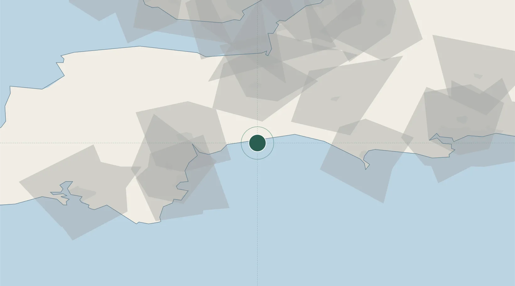
Location
Nearby Logistics Neighbours
Cities
- 1Axmouth3 km
- 2Seaton4 km
- 3Branscombe4 km
- 4Colyton7 km
- 5Sidmouth12 km
Ports
- 1Bridport Harbour23 km
- 2Teignmouth Harbour33 km
- 3Torquay Harbour40 km
- 4Brixham Harbour44 km
- 5Weymouth Harbour45 km
Airports
- 1Exeter International Airport24 km
- 2RNAS Yeovilton48 km
- 3Cardiff International Airport81 km
- 4Bristol Airport82 km
- 5MOD St Athan84 km
Trade Zones
DatabookThe Record of Consolidated Knowledge
United Kingdom beyond logistics?