Transport Functions
Multimodal
Hub Profile
Place type
District seat
Region
England
Population
638
Time zone
Europe/London
Elevation
115 m
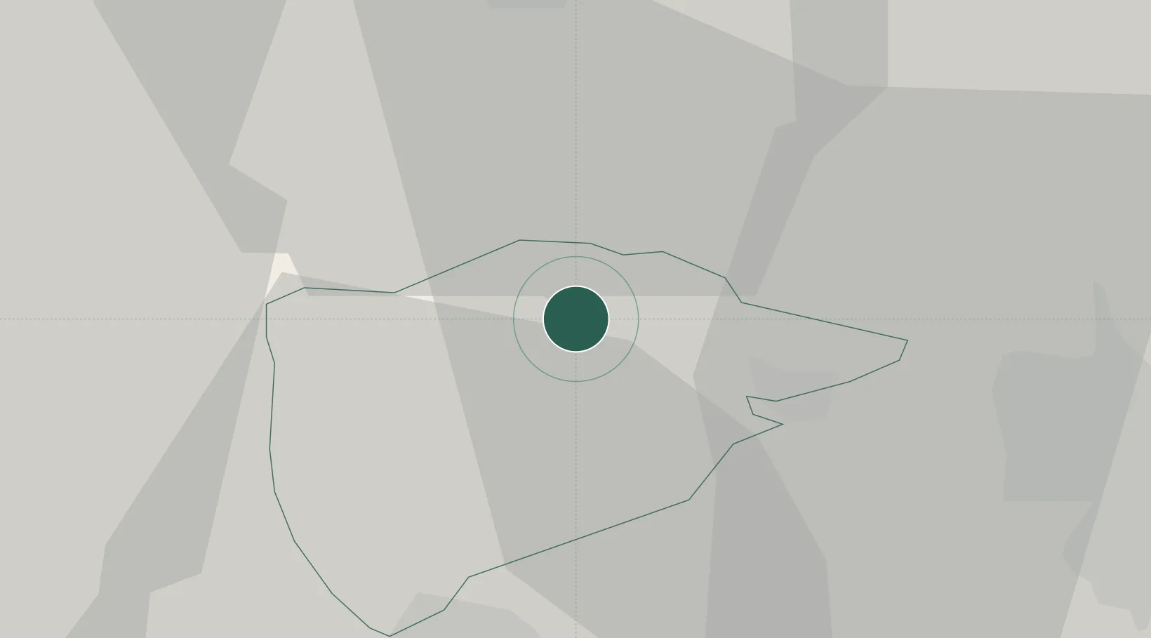
Location
Nearby Logistics Neighbours
Ports
- 1Boston50 km
- 2Wisbech52 km
- 3King's Lynn69 km
- 4Grimsby105 km
- 5Immingham107 km
Airports
- 1RAF Wittering14 km
- 2RAF Barkston Heath29 km
- 3RAF Cranwell37 km
- 4Nottingham City Airport40 km
- 5East Midlands Airport50 km
DatabookThe Record of Consolidated Knowledge
United Kingdom beyond logistics?