Transport Functions
Port
Hub Profile
Place type
Urban district
Region
Wales
Time zone
Europe/London
Elevation
21 m
Logistics facilities
1
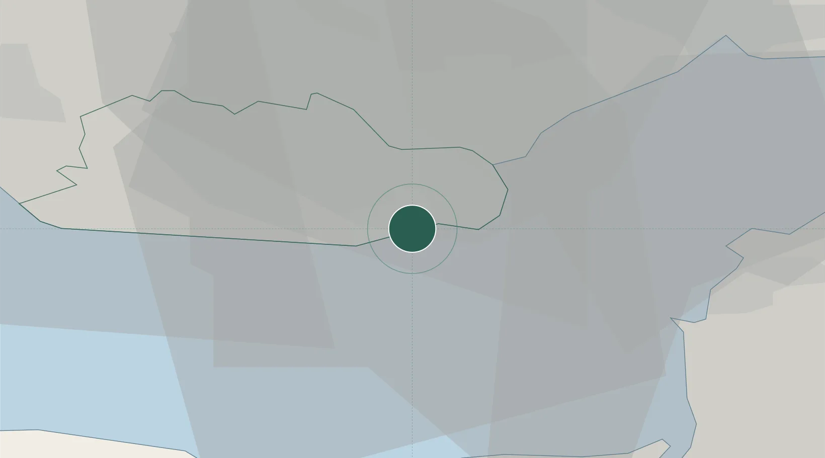
Location
Nearby Logistics Neighbours
Cities
- 1Barry1 km
- 2Penarth6 km
- 3Cardiff14 km
- 4Weston-Super-Mare20 km
- 5Trefforest21 km
Ports
- 1Cardiff8 km
- 2Newport25 km
- 3Watchet Harbor25 km
- 4Bird Port27 km
- 5Bridgwater34 km
Airports
- 1Cardiff International Airport7 km
- 2MOD St Athan13 km
- 3Bristol Airport37 km
- 4RNAS Yeovilton60 km
- 5Swansea Airport62 km
Trade Zones
DatabookThe Record of Consolidated Knowledge
United Kingdom beyond logistics?