UN/LOCODE hub · United Kingdom
GBCDF
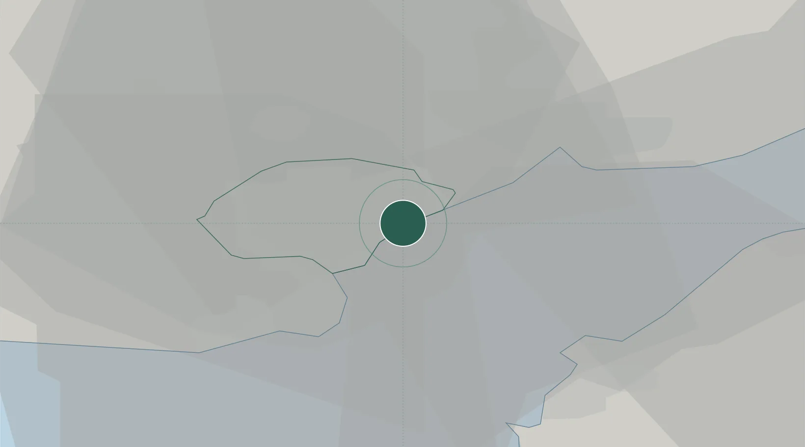
Cardiff
51.4967°, -3.1115°
372,089
Population
2
Transport functions
Transport Functions
Port
Airport
Hub Profile
Place type
Regional capital
Region
Wales
Population
372,089
Time zone
Europe/London
Elevation
17 m
Logistics facilities
3
Location
Nearby Logistics Neighbours
Cities
- 1Penarth8 km
- 2Rogerstone11 km
- 3Crosskeys13 km
- 4Risca13 km
- 5Barry Dock14 km
Airports
- 1Cardiff International Airport20 km
- 2MOD St Athan25 km
- 3Bristol Airport30 km
- 4RNAS Yeovilton63 km
- 5Swansea Airport67 km
Trade Zones
DatabookThe Record of Consolidated Knowledge
United Kingdom beyond logistics?