UN/LOCODE hub · United Kingdom
GBPNH
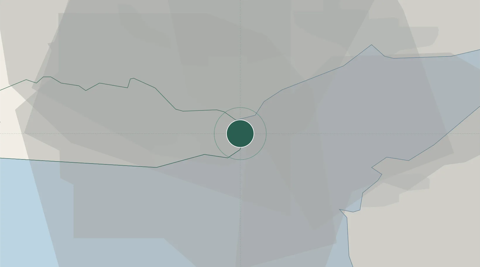
Penarth
51.4333°, -3.1667°
23,437
Population
3
Transport functions
Transport Functions
Port
Rail
Road
Hub Profile
Place type
Populated place
Region
Wales
Population
23,437
Time zone
Europe/London
Elevation
51 m
Location
Nearby Logistics Neighbours
Cities
- 1Barry Dock6 km
- 2Barry7 km
- 3Cardiff8 km
- 4Weston-Super-Mare17 km
- 5Rogerstone19 km
Ports
- 1Cardiff2 km
- 2Barry8 km
- 3Newport18 km
- 4Bird Port20 km
- 5Watchet Harbor30 km
Airports
- 1Cardiff International Airport13 km
- 2MOD St Athan19 km
- 3Bristol Airport32 km
- 4RNAS Yeovilton60 km
- 5Swansea Airport65 km
Trade Zones
DatabookThe Record of Consolidated Knowledge
United Kingdom beyond logistics?