Transport Functions
Port
Road
Hub Profile
Region
RCT
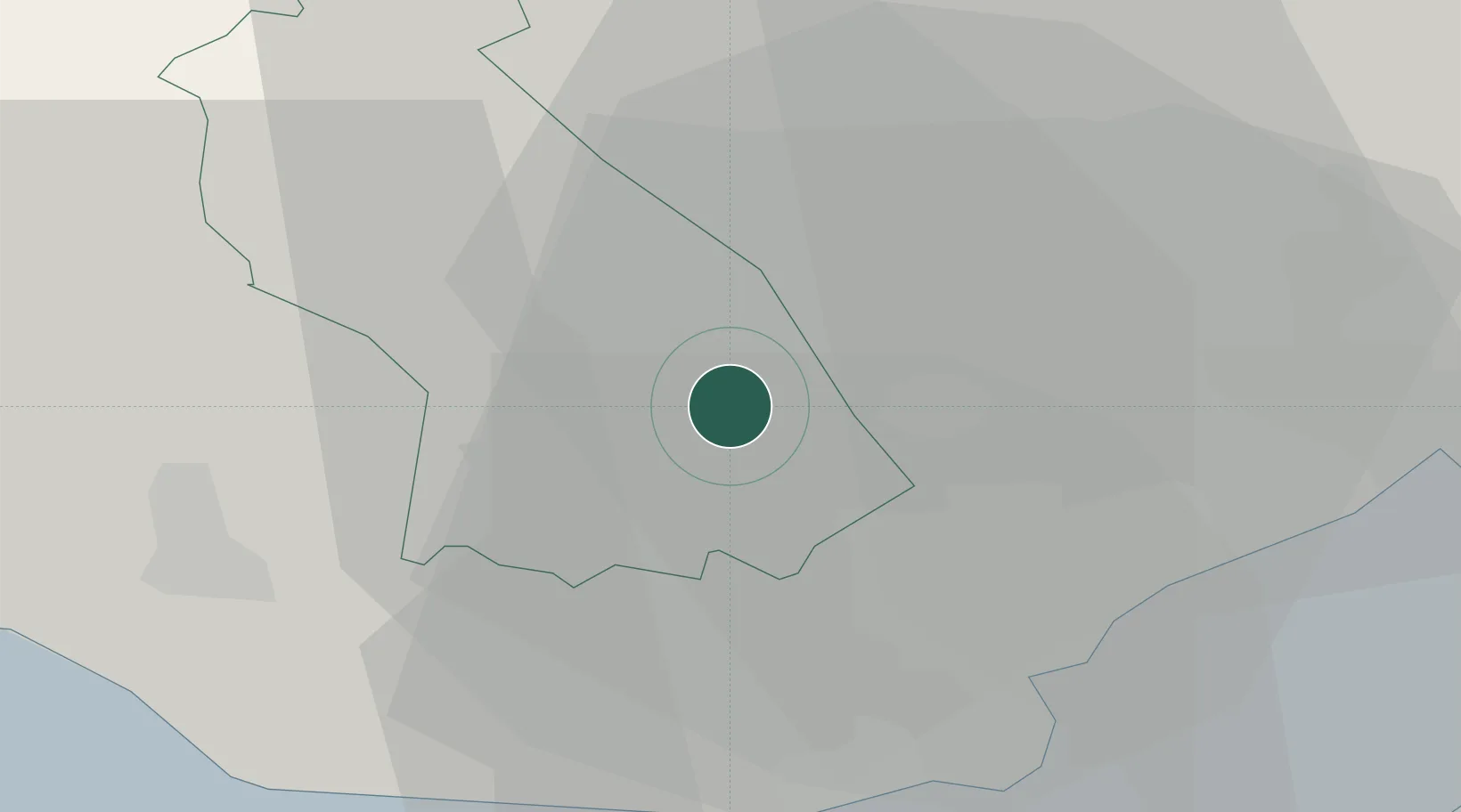
Location
Nearby Logistics Neighbours
Cities
- 1Treforest0 km
- 2Pontypridd2 km
- 3Porth7 km
- 4Tonyrefail7 km
- 5Maesycwmmer8 km
Ports
- 1Cardiff18 km
- 2Barry21 km
- 3Newport23 km
- 4Bird Port24 km
- 5Port Talbot35 km
Airports
- 1Cardiff International Airport21 km
- 2MOD St Athan21 km
- 3Bristol Airport47 km
- 4Swansea Airport52 km
- 5RNAS Yeovilton79 km
Trade Zones
DatabookThe Record of Consolidated Knowledge
United Kingdom beyond logistics?