UN/LOCODE hub · United Kingdom
GBSYX
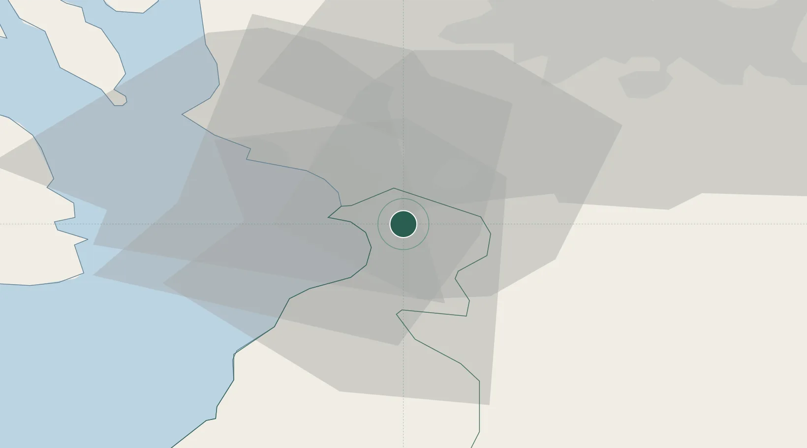
Symington
55.5333°, -4.5667°
1,050
Population
1
Transport functions
Transport Functions
Multimodal
Hub Profile
Place type
Populated place
Region
Scotland
Population
1,050
Time zone
Europe/London
Elevation
94 m
Location
Nearby Logistics Neighbours
Cities
- 1Monkton3 km
- 2Saint Quivox6 km
- 3Troon6 km
- 4Prestwick6 km
- 5Irvine10 km
Ports
- 1Troon8 km
- 2Ayr9 km
- 3Ardrossan20 km
- 4Hunterston31 km
- 5Millport33 km
Airports
- 1Glasgow Prestwick Airport4 km
- 2Glasgow Airport39 km
- 3Campbeltown Airport71 km
- 4Edinburgh Airport88 km
- 5Islay Airport108 km
Trade Zones
DatabookThe Record of Consolidated Knowledge
United Kingdom beyond logistics?