UN/LOCODE hub · United Kingdom
GBAN2
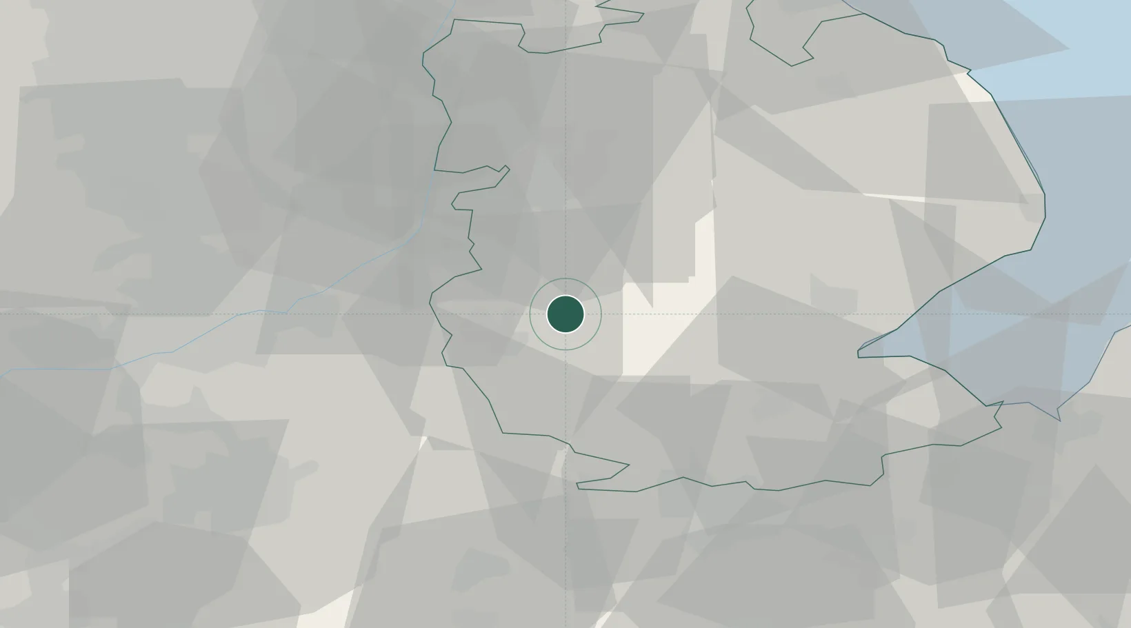
Ancaster
52.9667°, -0.5333°
1,294
Population
3
Transport functions
Transport Functions
Rail
Road
Postal
Hub Profile
Place type
Populated place
Region
England
Population
1,294
Time zone
Europe/London
Elevation
46 m
Location
Nearby Logistics Neighbours
Cities
- 1Leadenham10 km
- 2Ruskington14 km
- 3Heckington16 km
- 4Bassingham18 km
- 5Cotham20 km
Ports
- 1Boston35 km
- 2Wisbech57 km
- 3King's Lynn67 km
- 4Grimsby75 km
- 5Immingham77 km
Airports
- 1RAF Barkston Heath2 km
- 2RAF Cranwell7 km
- 3RAF Waddington22 km
- 4RAF Coningsby28 km
- 5Nottingham City Airport37 km
DatabookThe Record of Consolidated Knowledge
United Kingdom beyond logistics?