UN/LOCODE hub · United Kingdom
GBRKO
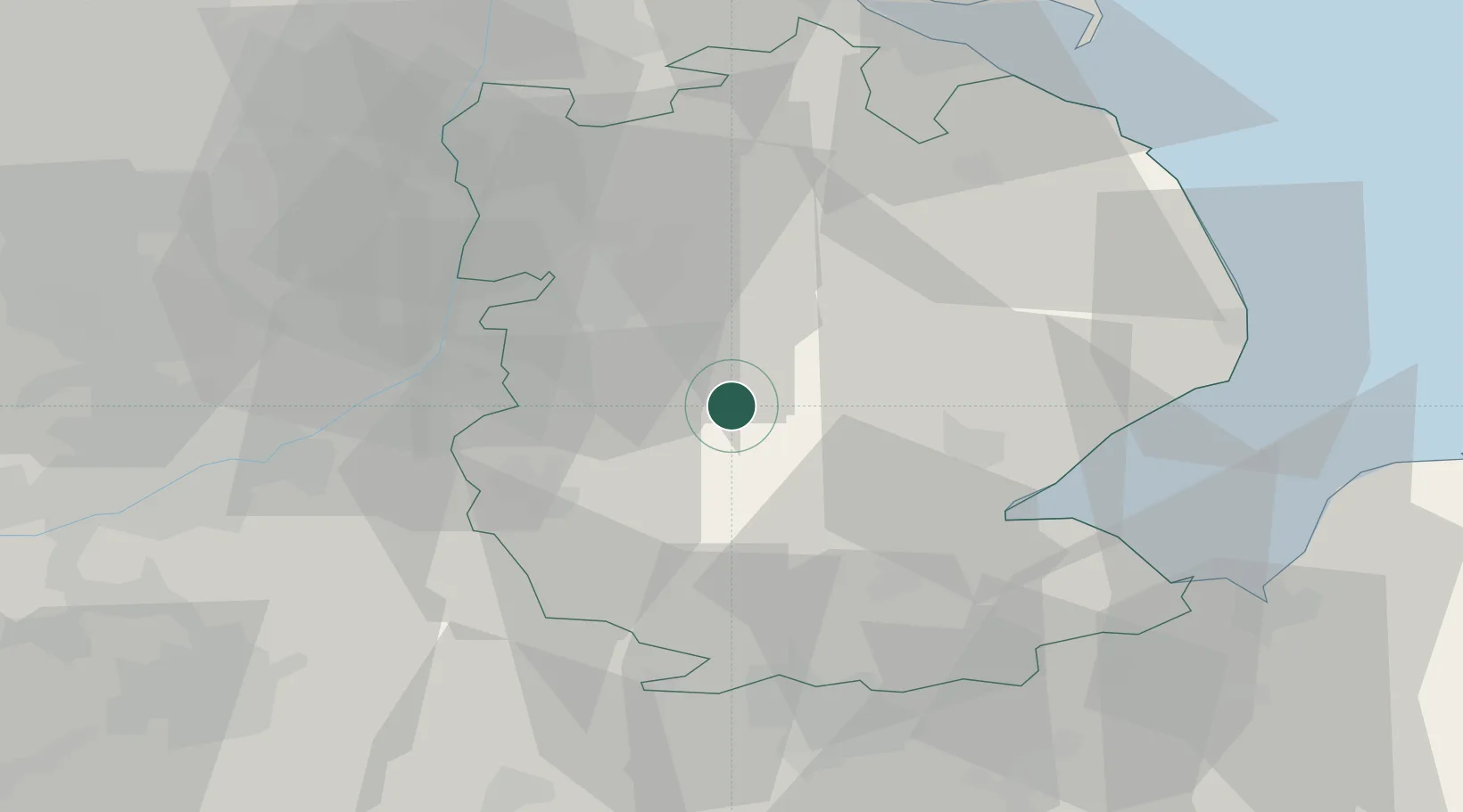
Ruskington
53.0500°, -0.3833°
5,637
Population
2
Transport functions
Transport Functions
Rail
Road
Hub Profile
Place type
Populated place
Region
England
Population
5,637
Time zone
Europe/London
Elevation
14 m
Location
Nearby Logistics Neighbours
Cities
- 1Heckington9 km
- 2Crowland11 km
- 3Leadenham13 km
- 4Ancaster14 km
- 5Bassingham18 km
Ports
- 1Boston26 km
- 2Wisbech56 km
- 3King's Lynn62 km
- 4Grimsby63 km
- 5Immingham66 km
Airports
- 1RAF Cranwell8 km
- 2RAF Coningsby15 km
- 3RAF Barkston Heath15 km
- 4RAF Waddington16 km
- 5Nottingham City Airport49 km
Trade Zones
DatabookThe Record of Consolidated Knowledge
United Kingdom beyond logistics?