UN/LOCODE hub · United Kingdom
GBHKG
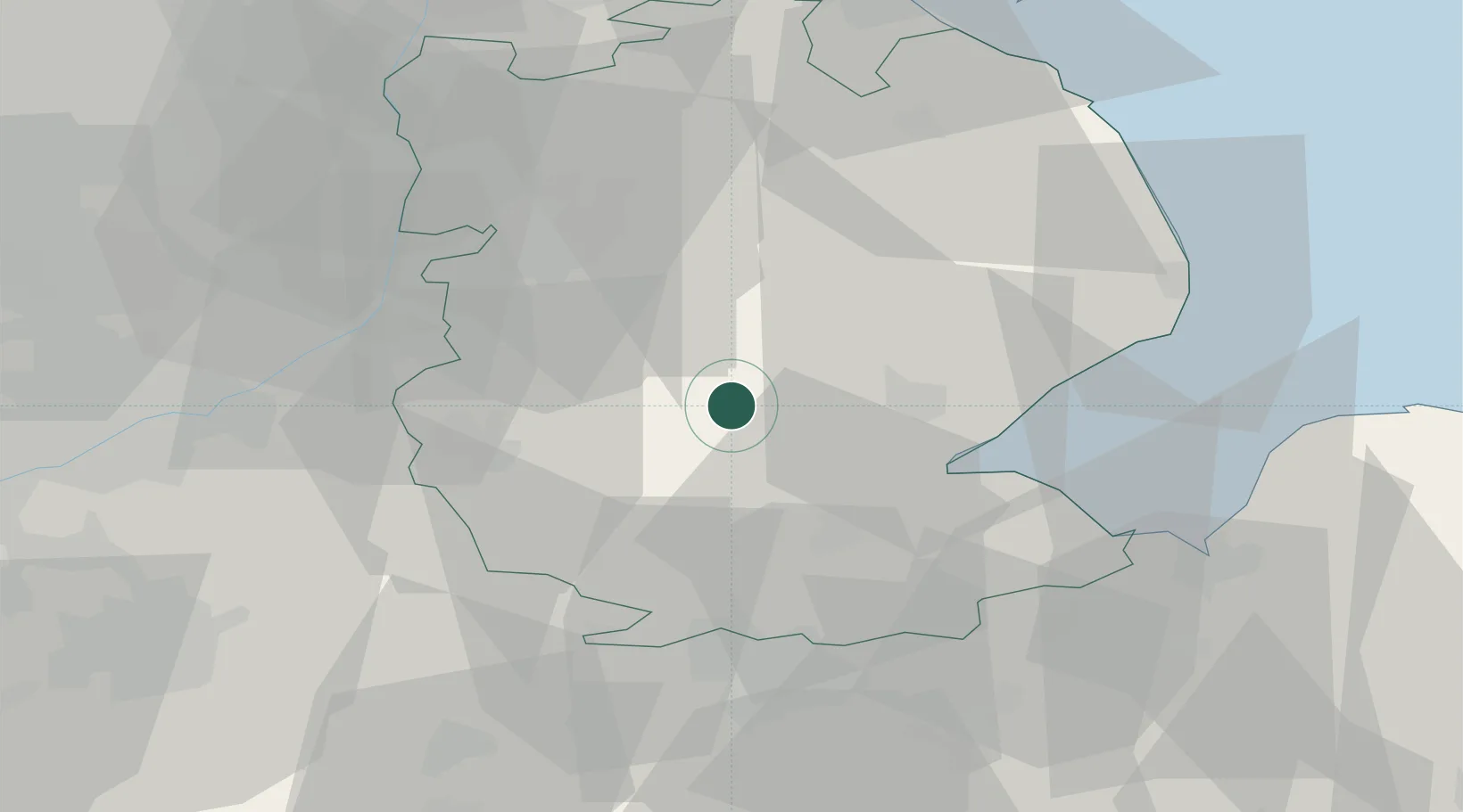
Heckington
52.9833°, -0.3000°
3,823
Population
2
Transport functions
Transport Functions
Rail
Road
Hub Profile
Place type
Populated place
Region
England
Population
3,823
Time zone
Europe/London
Elevation
16 m
Location
Nearby Logistics Neighbours
Cities
- 1Ruskington9 km
- 2Crowland15 km
- 3Ancaster16 km
- 4Leadenham20 km
- 5Bassingham27 km
Ports
- 1Boston19 km
- 2Wisbech46 km
- 3King's Lynn54 km
- 4Grimsby69 km
- 5Immingham73 km
Airports
- 1RAF Cranwell14 km
- 2RAF Coningsby15 km
- 3RAF Barkston Heath18 km
- 4RAF Waddington25 km
- 5RAF Wittering43 km
DatabookThe Record of Consolidated Knowledge
United Kingdom beyond logistics?