Transport Functions
Port
Road
Hub Profile
Region
HLD
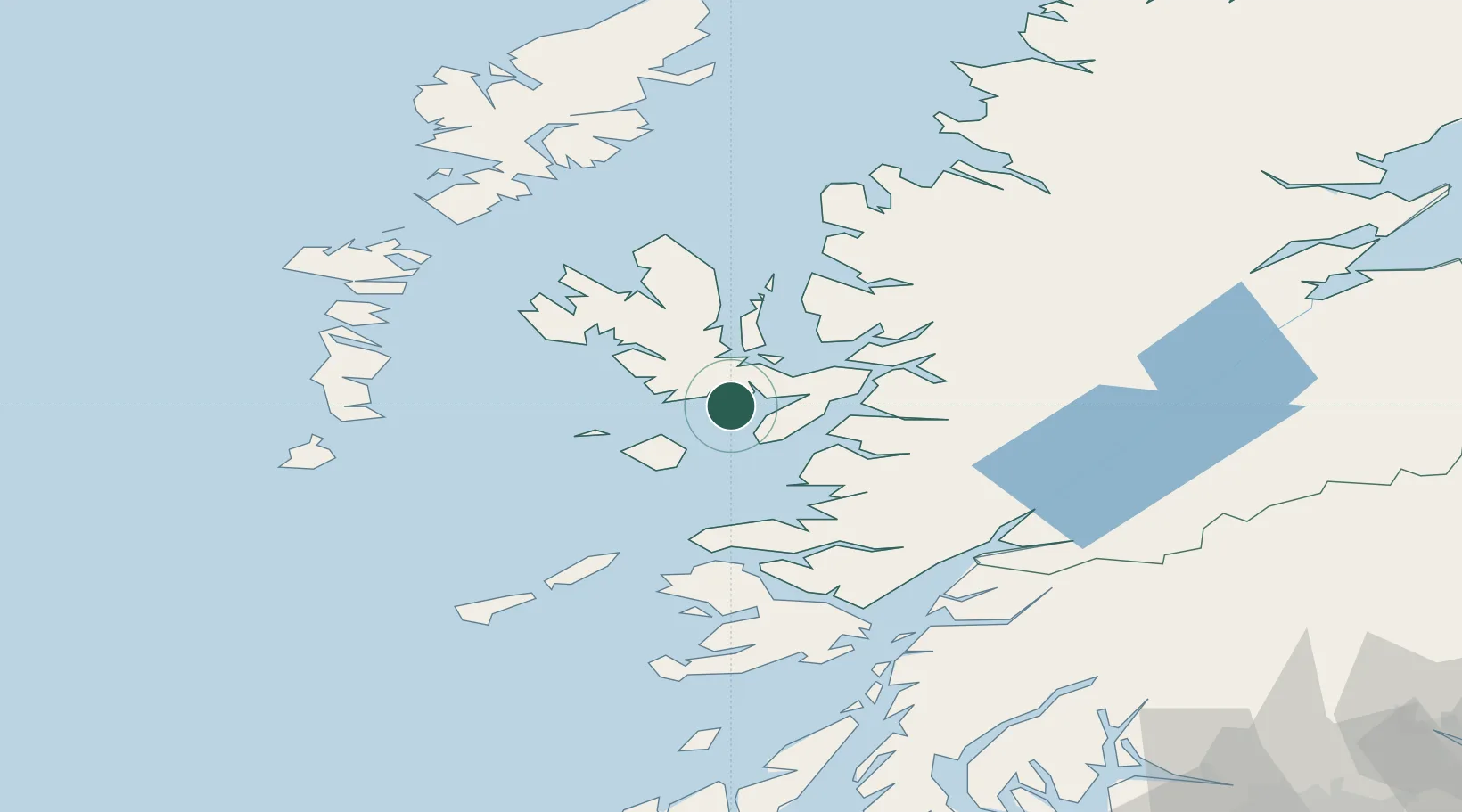
Location
Nearby Logistics Neighbours
Cities
- 1Strathaird4 km
- 2Carbost7 km
- 3Portnalong11 km
- 4Broadford, Isle of Skye15 km
- 5Armadale, Isle of Skye16 km
Ports
- 1Broadford Bay17 km
- 2Mallaig24 km
- 3Kyleakin26 km
- 4Kyle Of Lochalsh27 km
- 5Portree Harbor30 km
Airports
- 1Coll Airport69 km
- 2Barra Airport82 km
- 3Benbecula Airport84 km
- 4Tiree Airport86 km
- 5Oban Airport87 km
Trade Zones
DatabookThe Record of Consolidated Knowledge
United Kingdom beyond logistics?