Transport Functions
Port
Hub Profile
Place type
District seat
Region
England
Time zone
Europe/London
Elevation
22 m
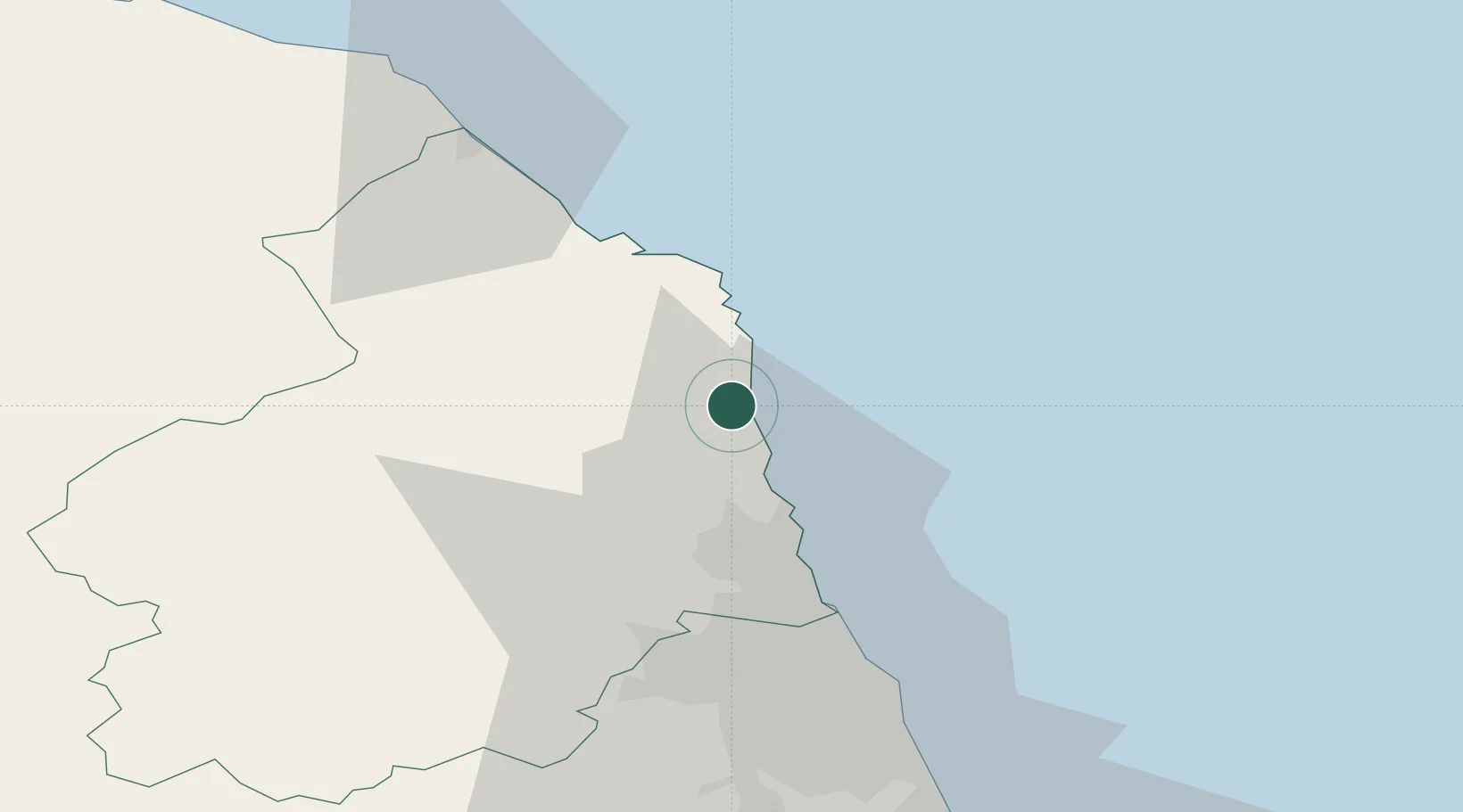
Location
Nearby Logistics Neighbours
Cities
- 1Warkworth4 km
- 2Boulmer5 km
- 3Amble8 km
- 4Craster10 km
- 5Newton by the Sea13 km
Ports
- 1Warkworth Harbour6 km
- 2Blyth31 km
- 3Tynemouth45 km
- 4Berwick-Upon-Tweed49 km
- 5Sunderland54 km
Airports
- 1Newcastle International Airport39 km
- 2RAF Spadeadam70 km
- 3Carlisle Lake District Airport91 km
- 4Teesside International Airport98 km
- 5RAF Leeming121 km
Trade Zones
DatabookThe Record of Consolidated Knowledge
United Kingdom beyond logistics?