UN/LOCODE hub · United Kingdom
GBWKO
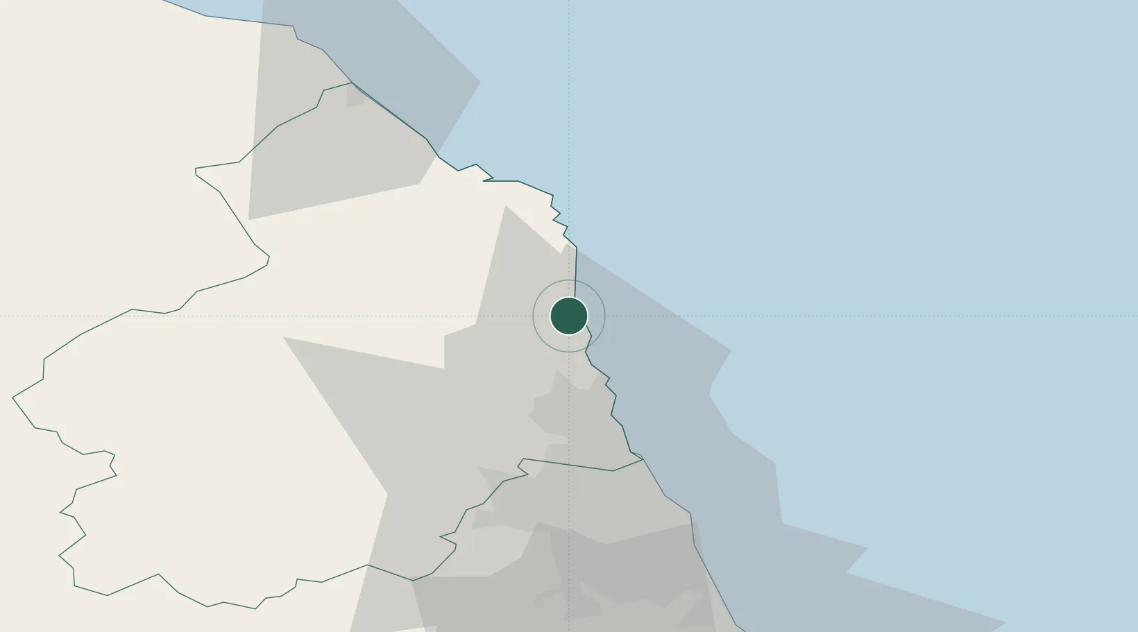
Warkworth
55.3500°, -1.6000°
1,346
Population
2
Transport functions
Transport Functions
Port
Road
Hub Profile
Place type
District seat
Region
England
Population
1,346
Time zone
Europe/London
Elevation
27 m
Location
Nearby Logistics Neighbours
Ports
- 1Blyth27 km
- 2Tynemouth41 km
- 3Sunderland50 km
- 4Berwick-Upon-Tweed53 km
- 5Seaham60 km
Airports
- 1Newcastle International Airport35 km
- 2RAF Spadeadam69 km
- 3Carlisle Lake District Airport90 km
- 4Teesside International Airport94 km
- 5RAF Leeming117 km
Trade Zones
DatabookThe Record of Consolidated Knowledge
United Kingdom beyond logistics?