Transport Functions
Port
Road
Hub Profile
Place type
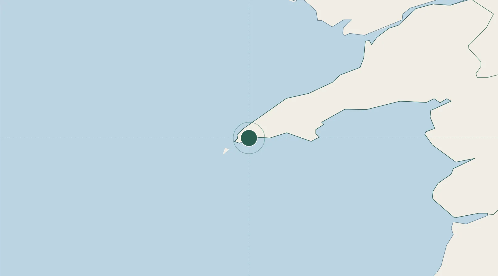
Populated place
Region
Wales
Time zone
Europe/London
Elevation
10 m
Location
Nearby Logistics Neighbours
Cities
- 1Porth Colmon12 km
- 2Tudweiliog14 km
- 3Aber Sôch (Abersoch)15 km
- 4Morfa Nefyn19 km
- 5Nefyn21 km
Ports
- 1Caernarvon49 km
- 2Holyhead58 km
- 3Fishguard89 km
- 4Mostyn113 km
- 5Liverpool Bay Terminal113 km
Airports
- 1Anglesey Airport51 km
- 2Haverfordwest Airport109 km
- 3Hawarden Airport124 km
- 4Dublin Airport125 km
- 5Casement Air Base129 km
Trade Zones
DatabookThe Record of Consolidated Knowledge
United Kingdom beyond logistics?