Transport Functions
Port
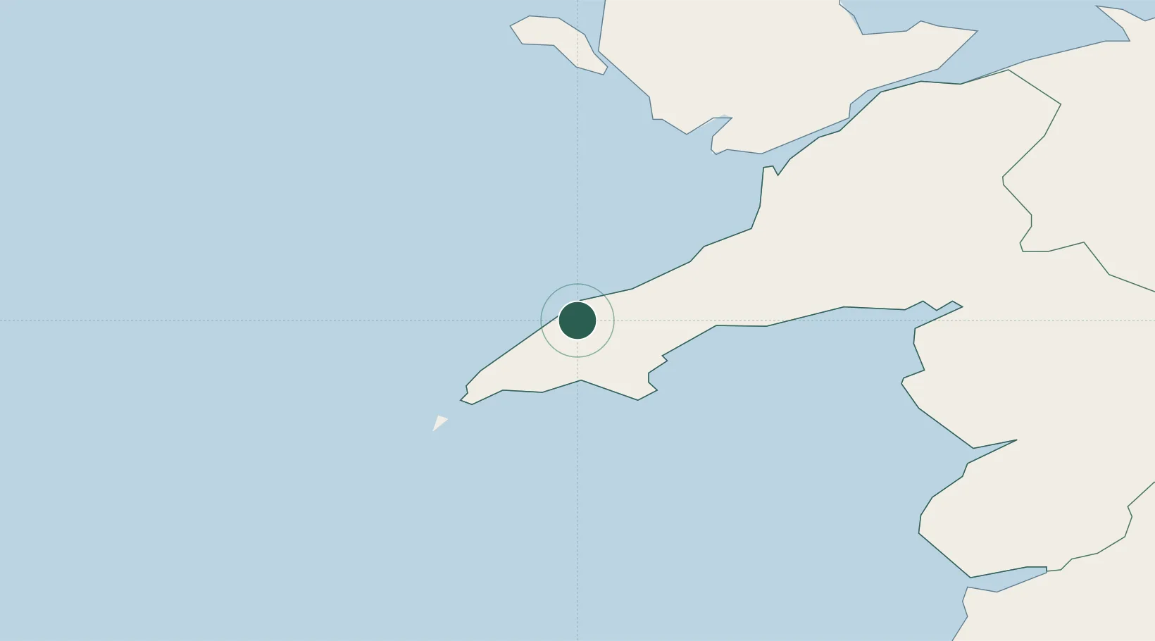
Hub Profile
Place type
Populated place
Region
Wales
Time zone
Europe/London
Elevation
52 m
Location
Nearby Logistics Neighbours
Cities
- 1Porth Colmon2 km
- 2Morfa Nefyn6 km
- 3Nefyn8 km
- 4Aber Sôch (Abersoch)11 km
- 5Pwllheli12 km
Ports
- 1Caernarvon36 km
- 2Holyhead46 km
- 3Liverpool Bay Terminal99 km
- 4Mostyn100 km
- 5Fishguard102 km
Airports
- 1Anglesey Airport39 km
- 2Hawarden Airport113 km
- 3Haverfordwest Airport121 km
- 4Dublin Airport125 km
- 5Liverpool John Lennon Airport126 km
Trade Zones
DatabookThe Record of Consolidated Knowledge
United Kingdom beyond logistics?