Channel & Berth Profile
Pilotage, Tugs & Services
Pilotage compulsoryYES
Pilotage availableYES
Tug assistanceYES
Potable waterNO
MedicalYES
Garbage disposalNO
Facilities & Capabilities
Container—
Ro-Ro—
Liquid bulk—
Dry bulk—
Oil terminal—
Break bulk—
Dry dock—
RepairsNO
BunkeringNO
Rail link—
Dangerous cargo—
ISPS security—
Harbour Specifications
Harbour size
Very Small
Harbour type
Open Roadstead
Shelter
Poor
Water body
Irish Sea; North Atlantic Ocean
Tidal range
8 m
Pilotage
Yes
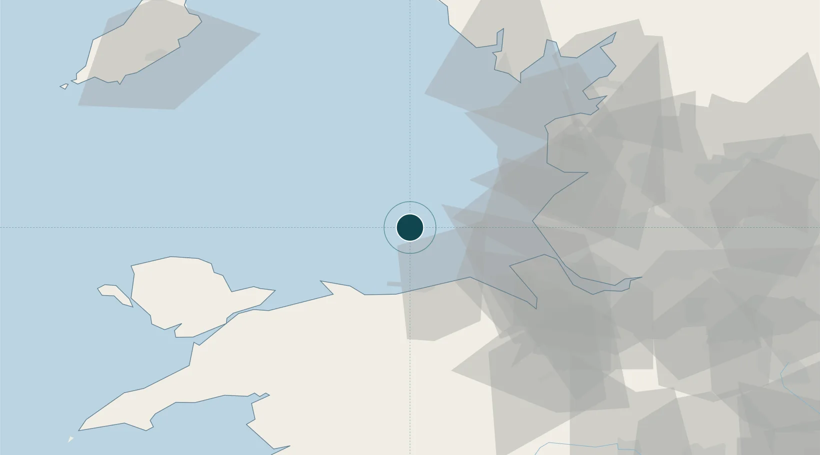
Location
Nearby Logistics Neighbours
Ports
- 1Mostyn31 km
- 2Liverpool39 km
- 3Garlston48 km
- 4Fleetwood55 km
- 5Caernarvon64 km
Cities
- 1Bar Light15 km
- 2Llandyrnog28 km
- 3Abergele28 km
- 4Llanddulas28 km
- 5Colwyn Bay (Bae Colwyn)29 km
Airports
- 1Blackpool Airport43 km
- 2Warton Aerodrome50 km
- 3Liverpool John Lennon Airport51 km
- 4Hawarden Airport55 km
- 5Barrow Walney Island Airport69 km
Trade Zones
DatabookThe Record of Consolidated Knowledge
United Kingdom beyond logistics?