Transport Functions
Port
Road
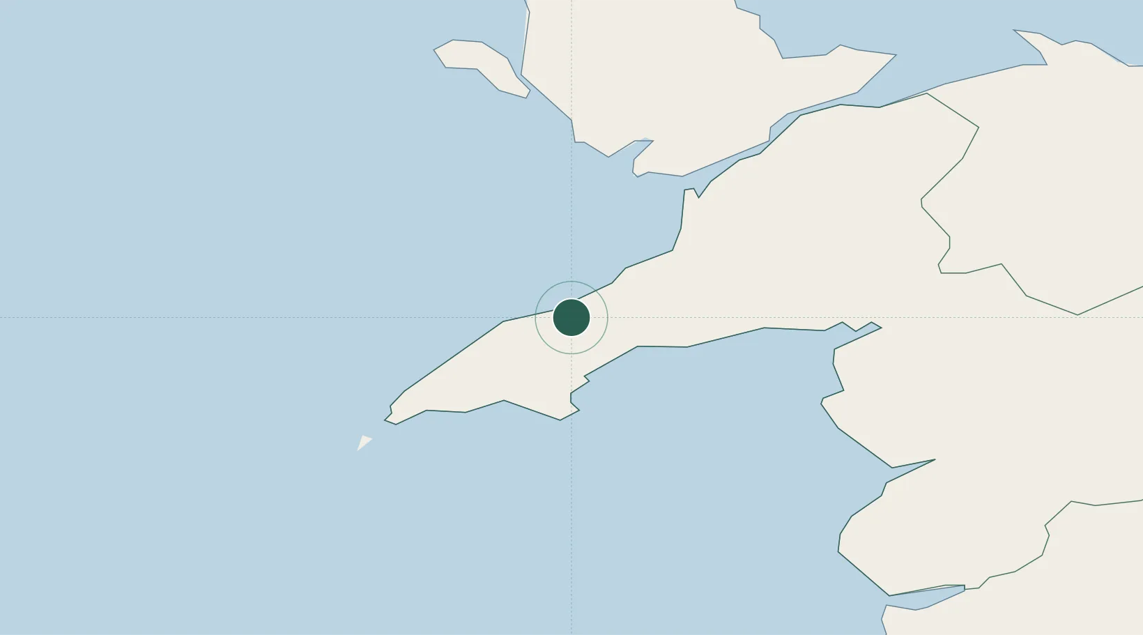
Hub Profile
Place type
District seat
Region
Wales
Population
1,373
Time zone
Europe/London
Elevation
45 m
Location
Nearby Logistics Neighbours
Cities
- 1Morfa Nefyn2 km
- 2Tudweiliog8 km
- 3Pwllheli8 km
- 4Porth Colmon10 km
- 5Trefor10 km
Ports
- 1Caernarvon29 km
- 2Holyhead44 km
- 3Liverpool Bay Terminal92 km
- 4Mostyn93 km
- 5Fishguard107 km
Airports
- 1Anglesey Airport35 km
- 2Hawarden Airport105 km
- 3Liverpool John Lennon Airport119 km
- 4RAF Shawbury124 km
- 5Haverfordwest Airport126 km
Trade Zones
DatabookThe Record of Consolidated Knowledge
United Kingdom beyond logistics?