Transport Functions
Port
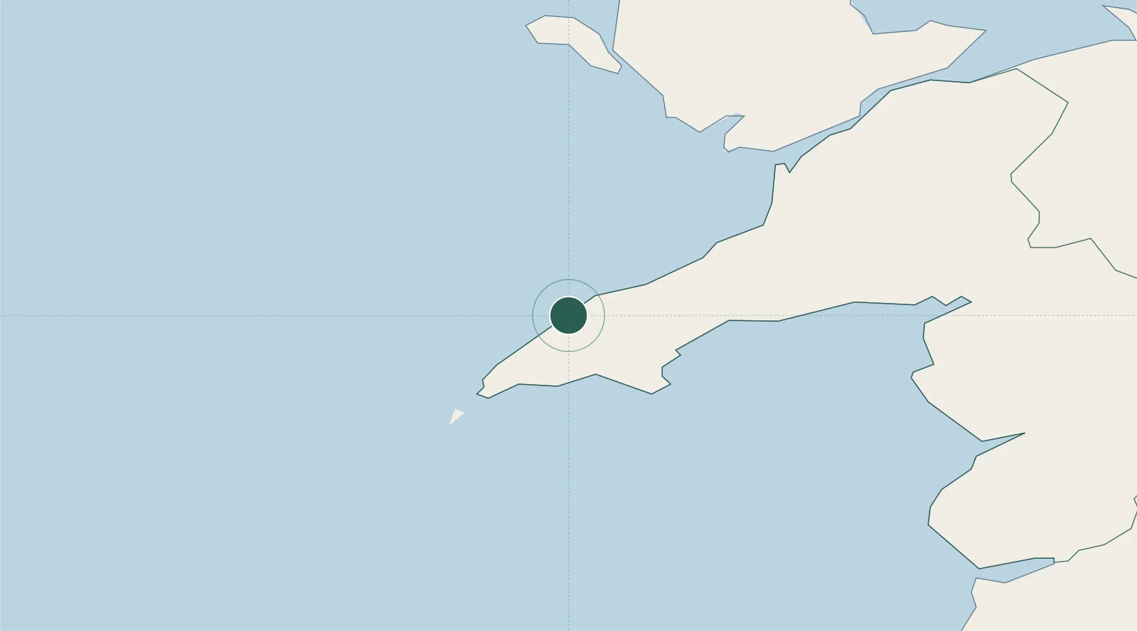
Location
Nearby Logistics Neighbours
Cities
- 1Tudweiliog2 km
- 2Morfa Nefyn8 km
- 3Nefyn10 km
- 4Aberdaron12 km
- 5Aber Sôch (Abersoch)13 km
Ports
- 1Caernarvon37 km
- 2Holyhead46 km
- 3Liverpool Bay Terminal101 km
- 4Fishguard101 km
- 5Mostyn102 km
Airports
- 1Anglesey Airport39 km
- 2Hawarden Airport115 km
- 3Haverfordwest Airport121 km
- 4Dublin Airport124 km
- 5Liverpool John Lennon Airport129 km
Trade Zones
DatabookThe Record of Consolidated Knowledge
United Kingdom beyond logistics?