UN/LOCODE hub · United Kingdom
GBMFN
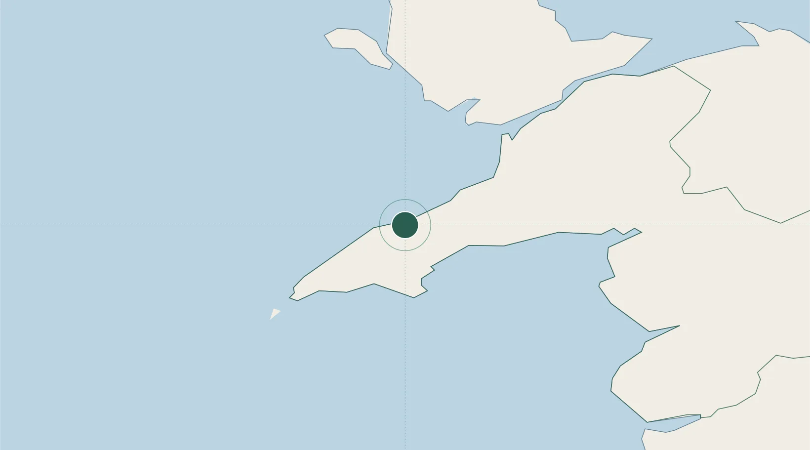
Morfa Nefyn
52.9333°, -4.5333°
857
Population
1
Transport functions
Transport Functions
Port
Hub Profile
Place type
Populated place
Region
Wales
Population
857
Time zone
Europe/London
Elevation
31 m
Location
Nearby Logistics Neighbours
Cities
- 1Nefyn2 km
- 2Tudweiliog6 km
- 3Porth Colmon8 km
- 4Pwllheli10 km
- 5Trefor12 km
Ports
- 1Caernarvon30 km
- 2Holyhead43 km
- 3Liverpool Bay Terminal94 km
- 4Mostyn95 km
- 5Fishguard106 km
Airports
- 1Anglesey Airport35 km
- 2Hawarden Airport108 km
- 3Liverpool John Lennon Airport121 km
- 4Haverfordwest Airport126 km
- 5RAF Shawbury126 km
Trade Zones
DatabookThe Record of Consolidated Knowledge
United Kingdom beyond logistics?