Medium airport · United Kingdom

Hawarden AirportEGNR
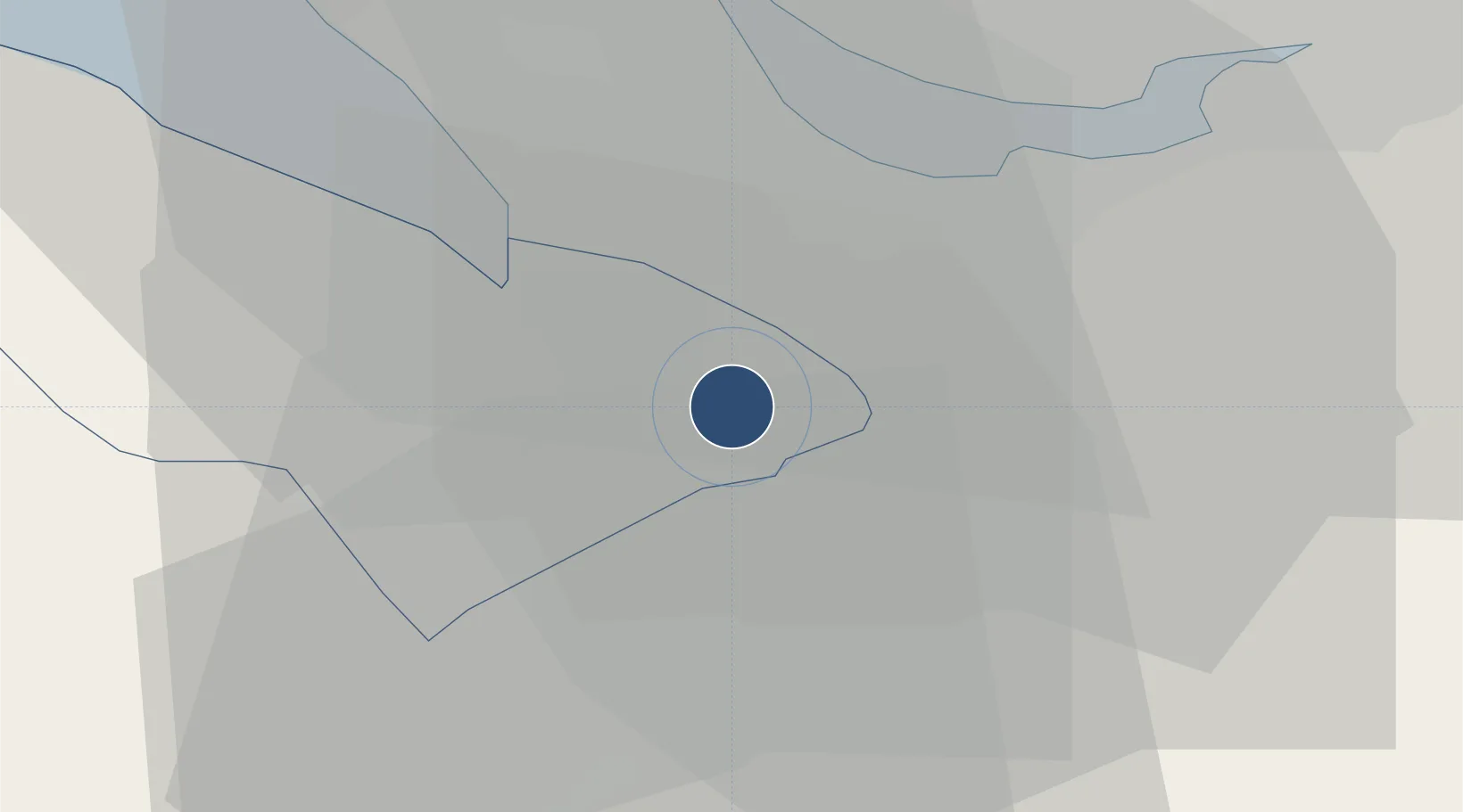
53.1781°, -2.9778°
6,867 ft
Longest runway
1
Runways
45 ft
Elevation

Runway & Layout

Hawarden Airport runway & taxiway layout
Runway & taxiway layout — OpenStreetMap (ODbL) / OurAirports

Radio Frequencies

ATIS
125.43 MHz
TWR
124.955 MHz
APP
120.055 MHz
listening squawk 4607
APP/RAD
130.015 MHz
OurAirports

Runways · 1

RunwayDimensions SurfaceTrue headingLit
04/22 6,867 × 148ft Asphalt 041°
OurAirports

Airport Specifications

IATA code
CEG
OurAirports
ICAO code
EGNR
OurAirports
Airport class
Medium airport
OurAirports
Scheduled service
No
OurAirports
Runway surface
Asphalt
OurAirports
Served city
Broughton
OurAirports

Location

Location of EGNR
Natural Earth 10m (public domain) · Flintshire · EGNR · 53.18, -2.98GoogleOSMYandex

Nearby Logistics Neighbours

Airports
  1. 1Liverpool John Lennon Airport19 km
  2. 2RAF Shawbury47 km
  3. 3Manchester Airport50 km
  4. 4Warton Aerodrome63 km
  5. 5Blackpool Airport66 km
Nearest neighbours — logibook spatial index (haversine) over the source coordinates
Cities
  1. 1Broughton2 km
  2. 2Reepham6 km
  3. 3Connah's Quay7 km
  4. 4Connahs Quay7 km
  5. 5Hope8 km
Nearest neighbours — logibook spatial index (haversine) over the source coordinates
Ports
  1. 1Garlston20 km
  2. 2Mostyn25 km
  3. 3Liverpool27 km
  4. 4Liverpool Bay Terminal55 km
  5. 5Manchester58 km
Nearest neighbours — logibook spatial index (haversine) over the source coordinates
Trade Zones
  1. 1Cheshire Science Corridor11 km
  2. 2Mersey Waters Enterprise Zone25 km
  3. 3Sci-Tech Daresbury Enterprise Zone29 km
  4. 4Liverpool Free Zone33 km
  5. 5Manchester Airport City Enterprise Zone50 km
Nearest neighbours — logibook spatial index (haversine) over the source coordinates
DatabookThe Record of Consolidated Knowledge
United Kingdom beyond logistics?
Browse databook

All Sources

AirportsOurAirports
Public domain
Portsthe NGA World Port Index
Public domain (US gov)
LocationsUN/LOCODE
UN/LOCODE — free
Trade Zonesthe World Bank SEZ database
CC BY 4.0
Trade ZonesOpen Zone Map
CC BY
InfrastructureOpenStreetMap
ODbL 1.0
← United Kingdom airports