Transport Functions
Port
Road
Hub Profile
Region
GWN
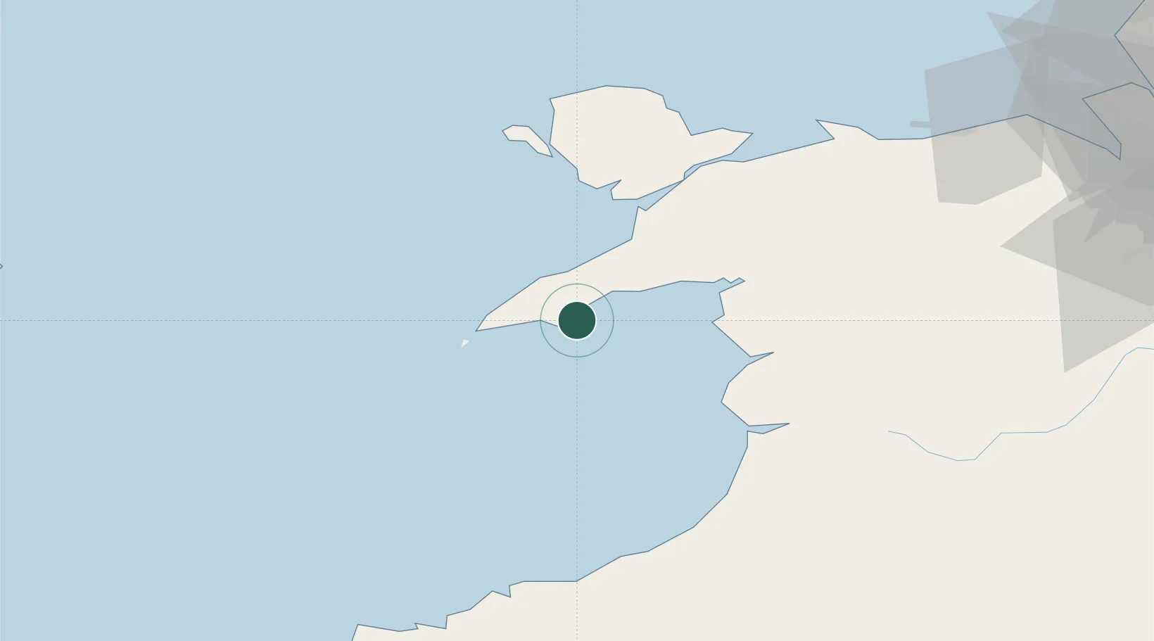
Location
Nearby Logistics Neighbours
Cities
- 1Pwllheli9 km
- 2Tudweiliog11 km
- 3Porth Colmon13 km
- 4Nefyn13 km
- 5Morfa Nefyn13 km
Ports
- 1Caernarvon40 km
- 2Holyhead56 km
- 3Fishguard95 km
- 4Mostyn99 km
- 5Liverpool Bay Terminal102 km
Airports
- 1Anglesey Airport48 km
- 2Hawarden Airport110 km
- 3Haverfordwest Airport114 km
- 4RAF Shawbury123 km
- 5Liverpool John Lennon Airport124 km
Trade Zones
DatabookThe Record of Consolidated Knowledge
United Kingdom beyond logistics?