Channel & Berth Profile
Pilotage, Tugs & Services
Pilotage compulsoryYES
Pilotage availableYES
Pilotage advisableNO
Local assistanceNO
Salvage tugsNO
Potable waterYES
Diesel bunkersYES
MedicalYES
Facilities & Capabilities
Container—
Ro-Ro—
Liquid bulk—
Dry bulk—
Oil terminal—
Break bulk—
Dry dock—
RepairsNO
Bunkering—
Rail linkYES
Dangerous cargo—
ISPS security—
Harbour Specifications
Harbour size
Small
Harbour type
River (Basins)
Shelter
Good
Water body
Irish Sea; North Atlantic Ocean
Tidal range
5 m
Overhead limit
Yes
Pilotage
Yes
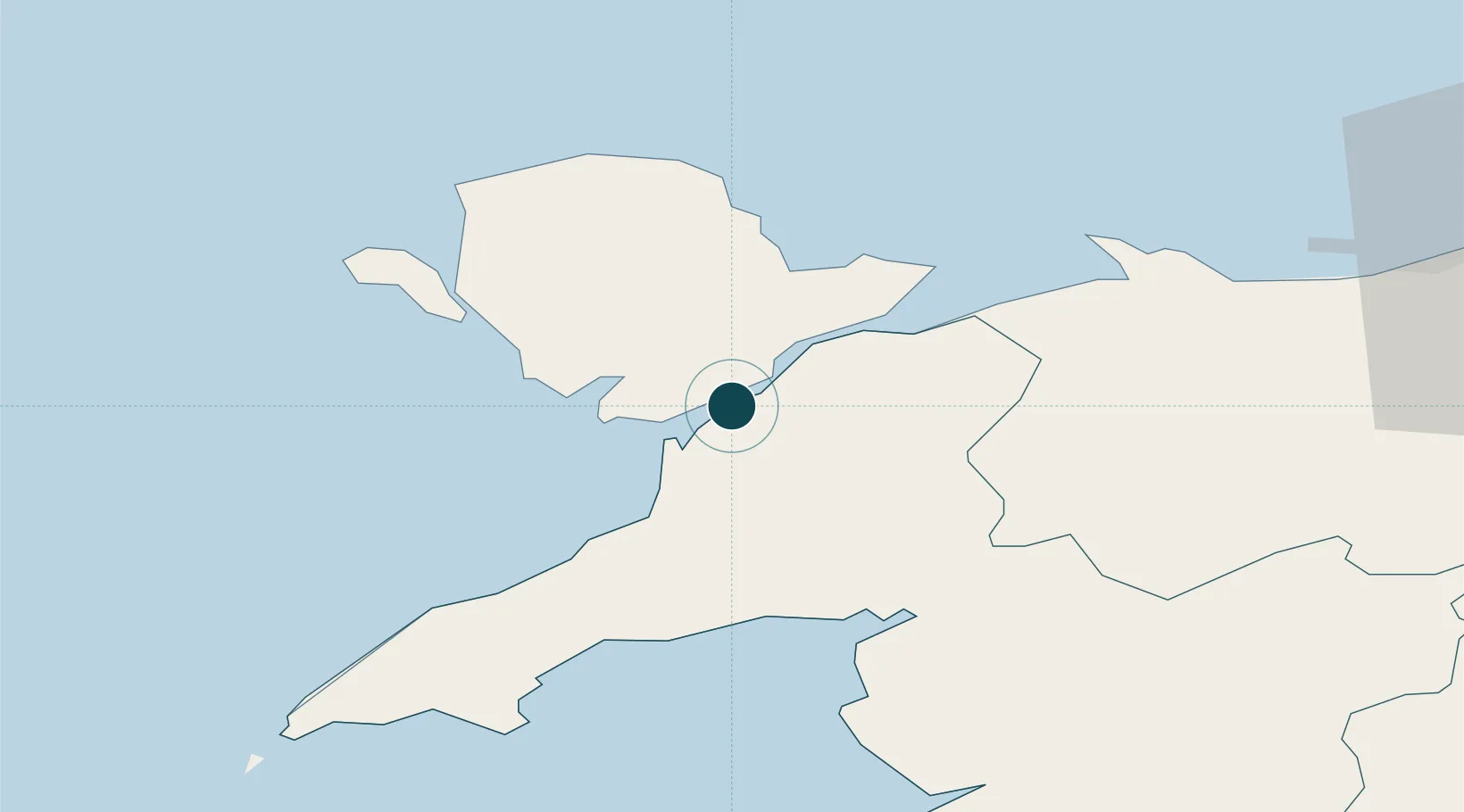
Location
Nearby Logistics Neighbours
Ports
- 1Holyhead31 km
- 2Liverpool Bay Terminal64 km
- 3Mostyn69 km
- 4Liverpool89 km
- 5Garlston94 km
Cities
- 1Brynsiencyn4 km
- 2Gaerwen6 km
- 3Llanberis11 km
- 4Llangefni11 km
- 5Aberffraw13 km
Airports
- 1Anglesey Airport21 km
- 2Hawarden Airport86 km
- 3Liverpool John Lennon Airport97 km
- 4Isle of Man Airport106 km
- 5Blackpool Airport107 km
Trade Zones
DatabookThe Record of Consolidated Knowledge
United Kingdom beyond logistics?